156 Holmbridge reservoirs round
Walk Summary: Hard 5.6 mile circular walk from Holmbridge taking in Brownhill, Ramsden, Riding Wood, Yateholme and Digley reservoirs
Start : Pickled Pheasant pub at Holmbridge
Locality: Holmbridge
Area: South
Start OS Grid reference: SE1211006817
Start What3words : megawatt.graphics.artichoke
Difficulty: Hard
Distance miles: 5.6
Ascent meters: 332
Estimated Walk Time hours: 3.3
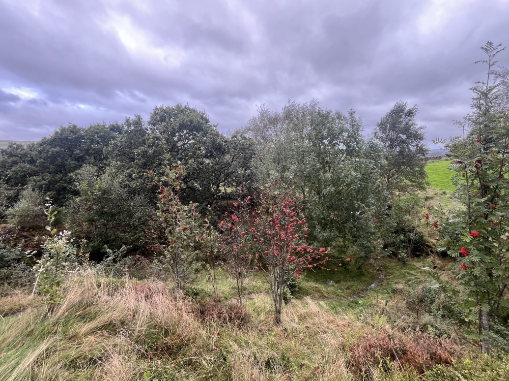
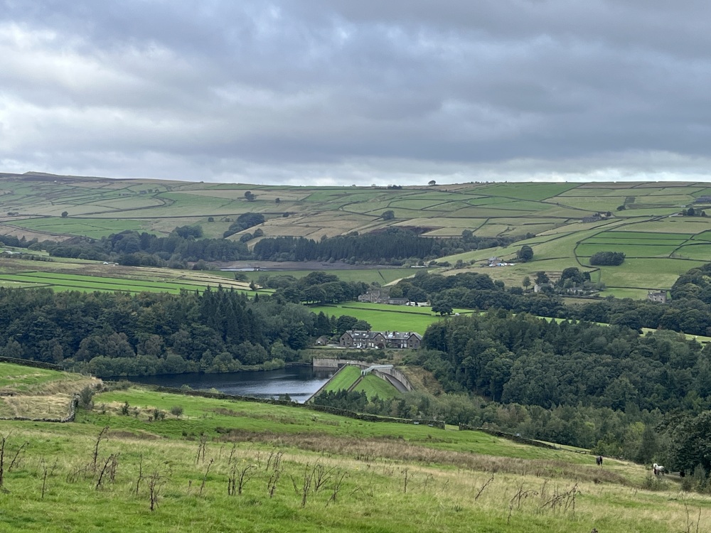
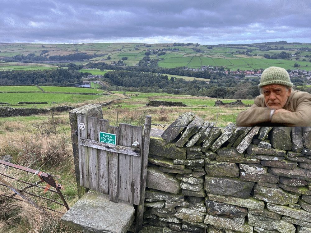
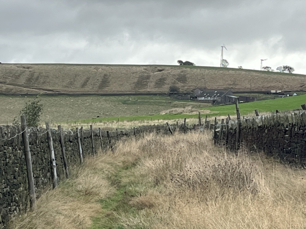
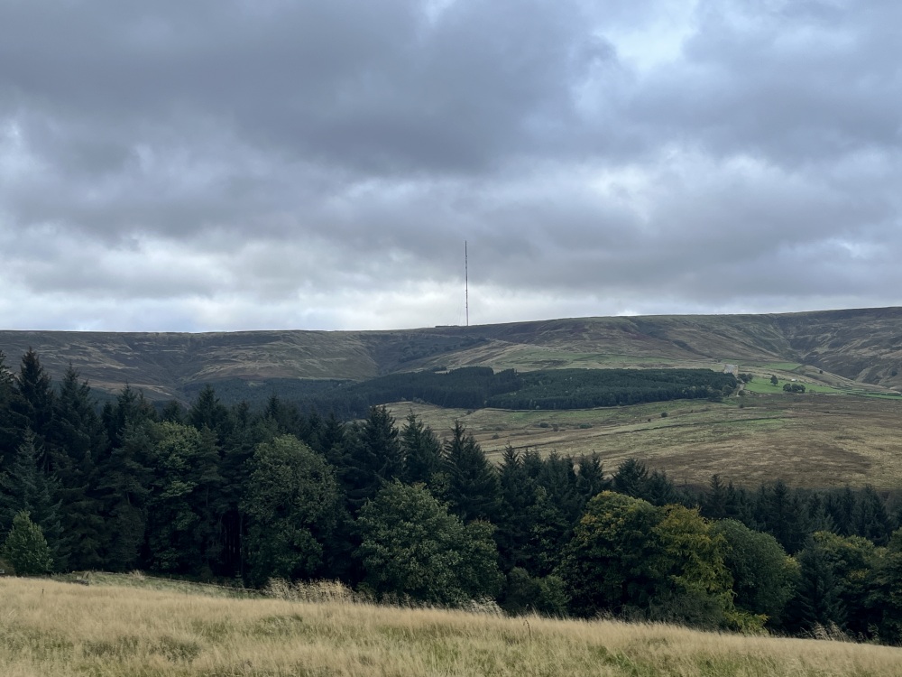
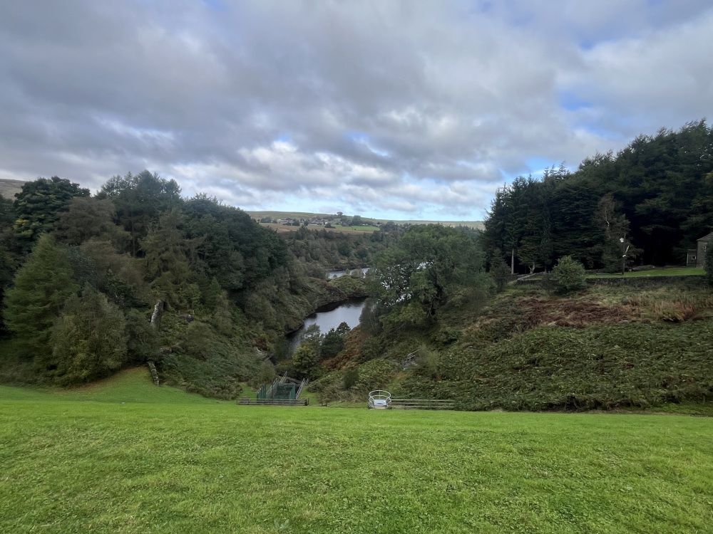
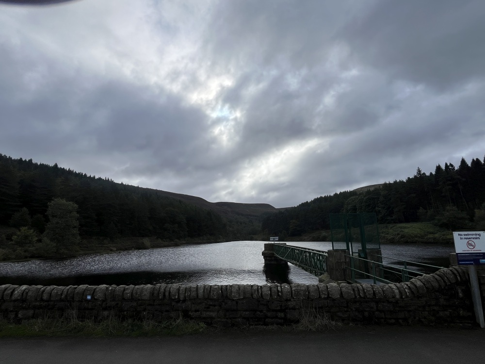
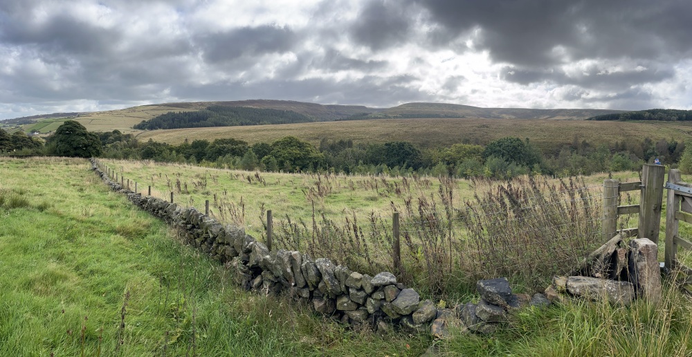
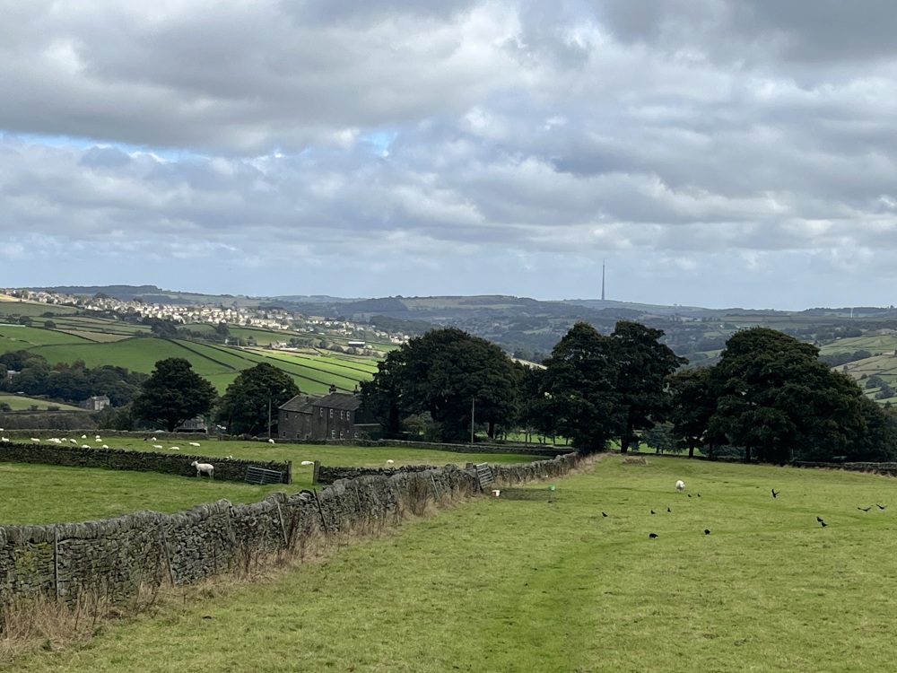
Walk Description: Starting outside the Pickled Pheasant, walk along the main road past the cricket ground (1) towards Holme Moss, then turn left down Bank Lane by grade 2 listed St David’s church. The church was completed and consecrated in 1840 but much damaged in the Bilberry reservoir flood of 1852. Inter alia, an occupied coffin and a dead goat were deposited amongst the pews. Ahead, turn right to continue along Bank Lane and then after roughly 200 metres turn left up Kilnhouse Bank Lane. At the top of the short track, when you come into a more open access and parking area, to the right of the short terrace of houses, there is a stile to squeeze through. Carry on straight ahead past the end of the house noting the chickens and horses and possibly donkeys to the right. You are now on the edge of open country. There follows a steepish climb up an initially wooded valley, Bank Clough, with some new tree planting as you follow the field edges and zigzag towards the top. Turn right onto a walled track and continue about 250 metres until you reach a junction where another track descends to the right. Go down here: you will emerge onto Brownhill Lane which is a continuation of Bank Lane which you trod earlier. You now have Brownhill Reservoir (2) to your right and Ramsden Reservoir and a car park to your left. Turn left onto the road and follow it for about 300 metres: it then turns right on the dam of Riding Wood reservoir which is on your left. Keep following the broad track across the dam and into the woods opposite. You will walk alongside the bottom of the Yateholme Reservoir embankment which rises to your left (with no view of the actual water) and continue uphill on the well defined ‘road’ through Netherley Clough. Eventually the road bears quite sharply right and levels off above Holme Woods and you will be entertained to some more open views. Carry on for about a kilometre until the road curves round to the left: look out carefully for a path going off at right angles directly towards the village of Holme, which is very evident across the valley. On our last traversal the path was not very distinct across the fields but when you reach a tumbledown wall go leftish: you are aiming to follow the track down to the picturesque Gill Hey Bridge and then climb steeply up the other side heading for the centre of Holme Village. Bear right when you come out onto the road through Holme, and then almost immediately fork left, keeping pretty much straight ahead until you approach Digley Reservoir. Bear left alongside the reservoir and cross the dam of Bilberry reservoir (3) at the top of Digley reservoir (4). Follow the track to the right after crossing and keep Digley reservoir on the right. When you reach the road across Digley dam, don’t turn onto it but cross straight ahead and continue down Bank Top Lane towards Holmbridge and the Pickled Pheasant. After 100 metres or so go through the gate on the right and descend to a broad track through the woods running above the stream from the dam. This will turn into a road and as you arrive in Holmbridge the pub is on your left.
Pub & Locality: Pickled Pheasant at Holmbridge
Parking: Large pub carpark available opposite pub
Public Transport: Bus 314 from Holmfirth Bus Station to Holmebridge. Journey time 10 minutes. Check bus times.
Other comments and points of interest: (1) As you leave the pub, you will see the Holmbridge cricket ground on the right.. The first published reference to a game played there dates from 1871. It is trimmed by sheep, and has some of the shortest boundaries imaginable.
(2) Ramsden and Brownhill reservoirs: both were constructed by Batley Corporation Waterworks, Ramsden around 150 years ago and Brownhill, the newest and largest of all, in the 1920s. Riding Wood reservoir is around the age of Ramsden: Yateholme, which is created by embankments on three sides, and inaccessible to view, also dates from the same period. Check out the history of the building of the reservoirs on the “Huddersfield Exposed” website – by all accounts the labourers were a volatile bunch and a special constable was sent to supervise them! Many injuries and deaths.
(3) Digley reservoir was completed in 1954 by Huddersfield Corporation on the site of ruined mills.
(4) Bilberry reservoir – 1852 flood – ordered by the Holme Reservoir Commissioners to replenish mill ponds, it was finished in 1842. However, the embankment dam burst after heavy rain in 1852 with the loss of 81 lives in the valley below, and massive destruction.
Please include the walk name or number when commenting on an individual walk.