153 Ripponden round
Walk Summary: Moderate 6.2 mile circular walk from Riponden down the River Ryburn and up onto the heathland of Norland Moor
Start : Old Bridge Inn at Ripponden
Locality: Ripponden
Area: West
Start OS Grid reference: SE0405719802
Start What3words : mural.storeroom.mass
Difficulty: Moderate
Distance miles: 6.2
Ascent meters: 323
Estimated Walk Time hours: 3.6
Pub & Locality: Old Bridge Inn at Ripponden
Parking: Pub carpark
Public Transport: From Holmfirth Buses 310,314 or 316 to Huddersfield bus station then Bus 910 to Riponden. Journey time about 1 hr 30 min. Check bus times.
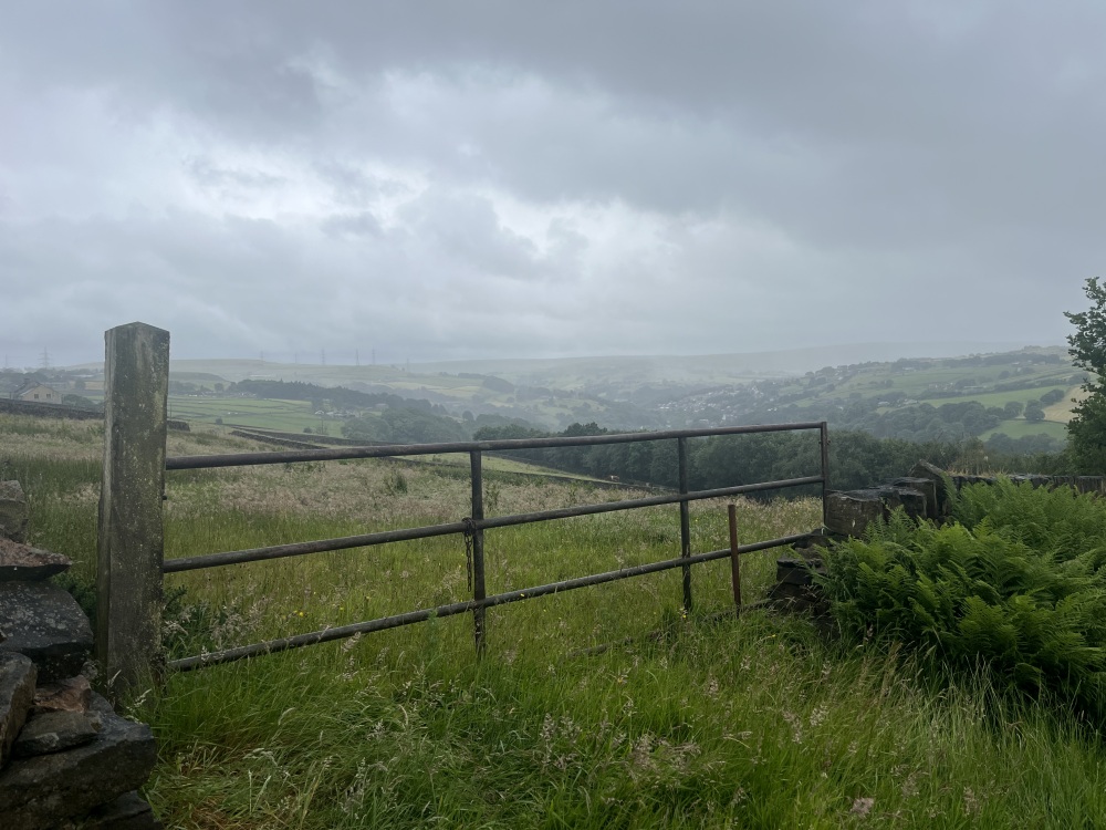
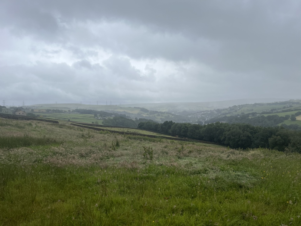
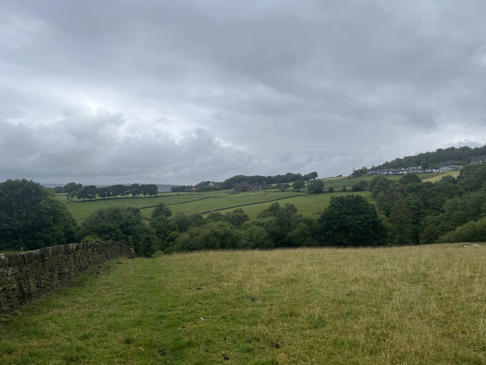
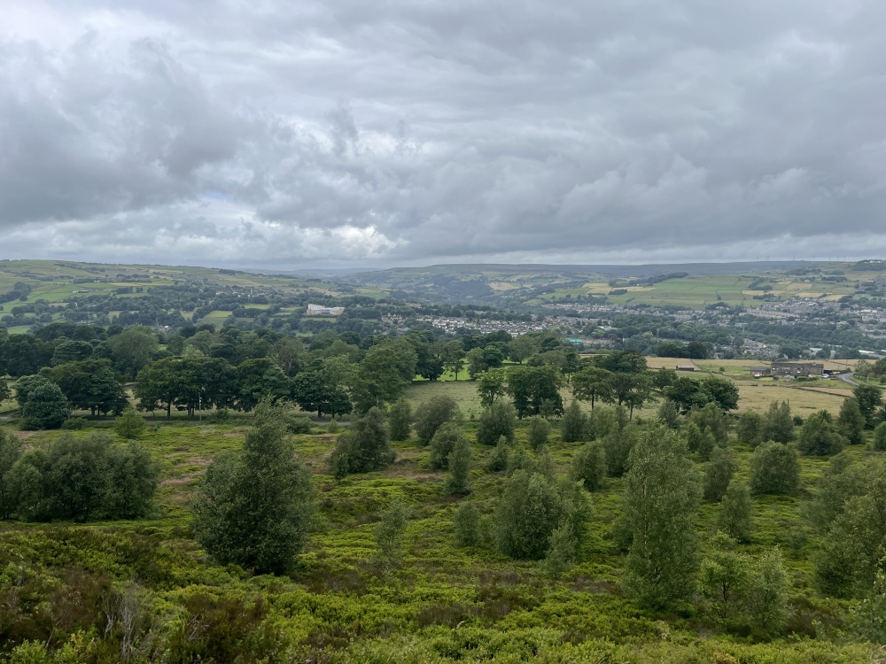
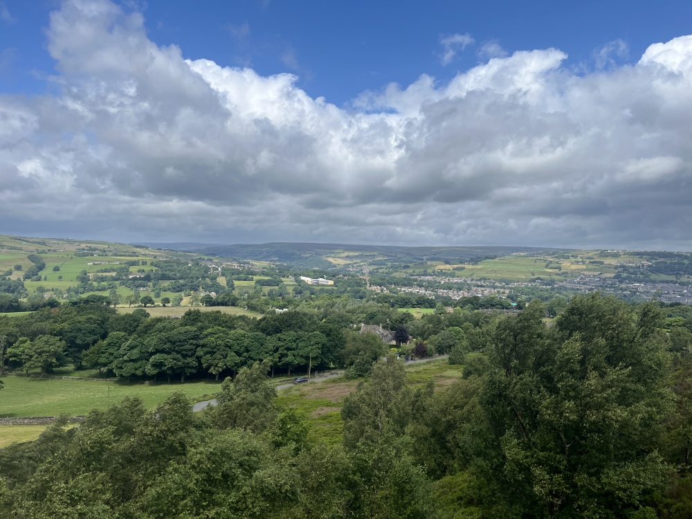
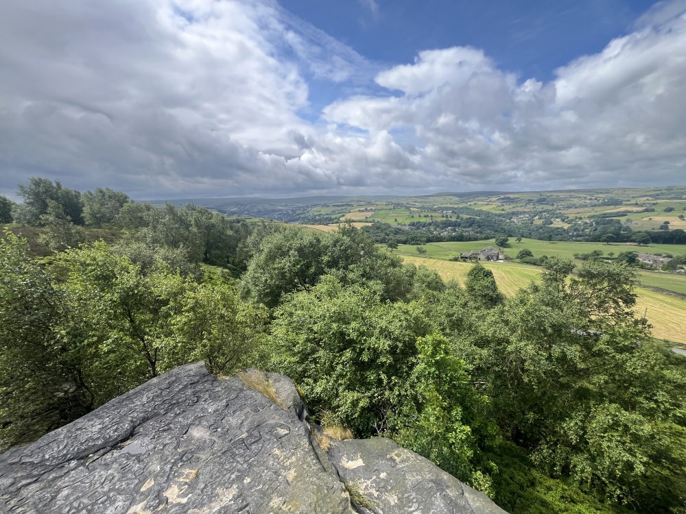
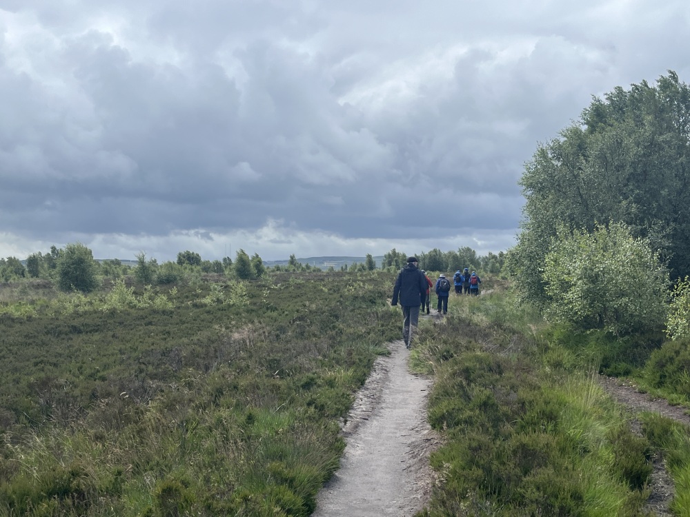
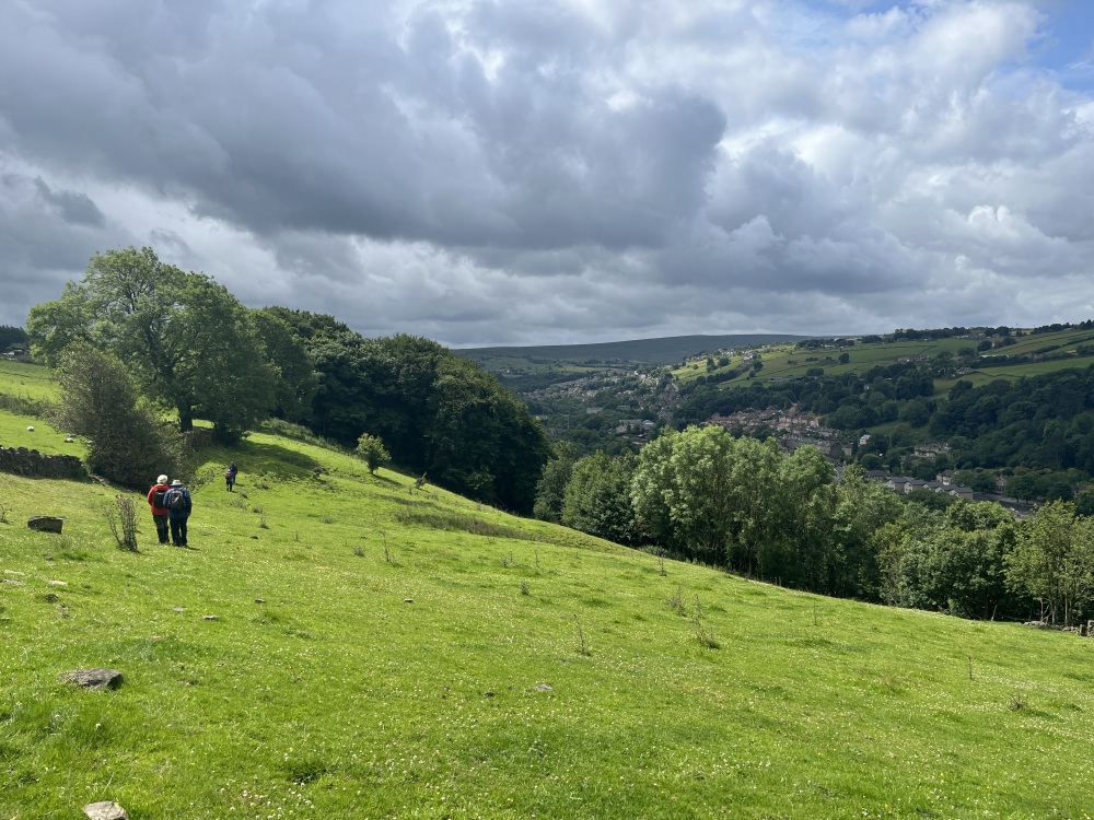
Walk Description: Start from the car park for the Old Bridge Inn, opposite St. Bartholomew’s church and walk up Old Bank (to the right if looking at the church). Follow this up to the left and take Hanging Stones Lane on the left. This clear lane is followed, parallel to the disused Rishworth railway (1), until it reaches its effective end at the isolated property of Little Haven. Follow the lane sharply to the right and it becomes rougher, but still clear as it climbs up through trees. Continue upwards and the lane leaves the trees and just beyond a farm access on the left, there is a path which is taken, across fields. A footbridge is crossed and the path keeps to the edge of Butterworth End Wood, ignoring other paths heading down the slope and a path on the right. After having passed the first path on the right, another path is reached after 150m and this is followed to the right. As the buildings of Lower Butterworth are approached, cross a stile and then turn sharply left, just after the buildings, across a playing field. Pass through a stile in the wall ahead and turn right to follow the path alongside a wall. Reach and cross a road onto a lane to New Longley, passing a graveyard and former chapel. At New Longley Lane turn right and then across Shaw Lane, into a car park for a recreation area. The path heads straight ahead towards the escarpment of Norland Moor,(2) passing an old delph. On reaching the Moor a prominent path follows the edge and your route is to the left. After 300m there is a fine viewpoint on the left and a path (one of many) bears right and crosses the Moor. At the third path junction, turn right and follow to the end of the heathland where you take the path on the right. This is followed until a path on the right can be followed to the trig point. Continuing beyond the trig point, to the left, the path along the edge is reached and is taken to the left. This leads down to the road, which is followed left until, after 200m there is a lane on the right. Take this lane and after briefly having followed your outward route, take a signed path to the left. Pass the buildings of Moor Bottom and take a track on the right. As you approach woodland, take a path on the left, alongside a wall. This continues, generally following the edge of woodland but is obstructed by trees and vegetation in the area of Bank Hall Farm, so the path deviates away from the woodland edge briefly and then resumes its intended route close to the wall. There follows a section where the path runs above the old quarry of Hanging Stones and then through overgrowing vegetation (in summer) until it reaches Old Bank and your route back to the start.
Other comments and points of inerest: (1) The Rishworth Branch Line was opened in 1881 and was envisaged as a shorter and faster alternative route to Littleborough, and thence to Manchester, than the Calder Valley line. However this ambition was never achieved and the line only progressed in two stages, first to Ripponden in 1878 and then to Rishworth in 1881. It never seemed to be commercially successful, suffering from competiton for passengers from a tramway and then buses. Consequently it closed for passenger traffic in 1929 and then for goods in 1958, perhaps suggesting that it had some utility in those later years.
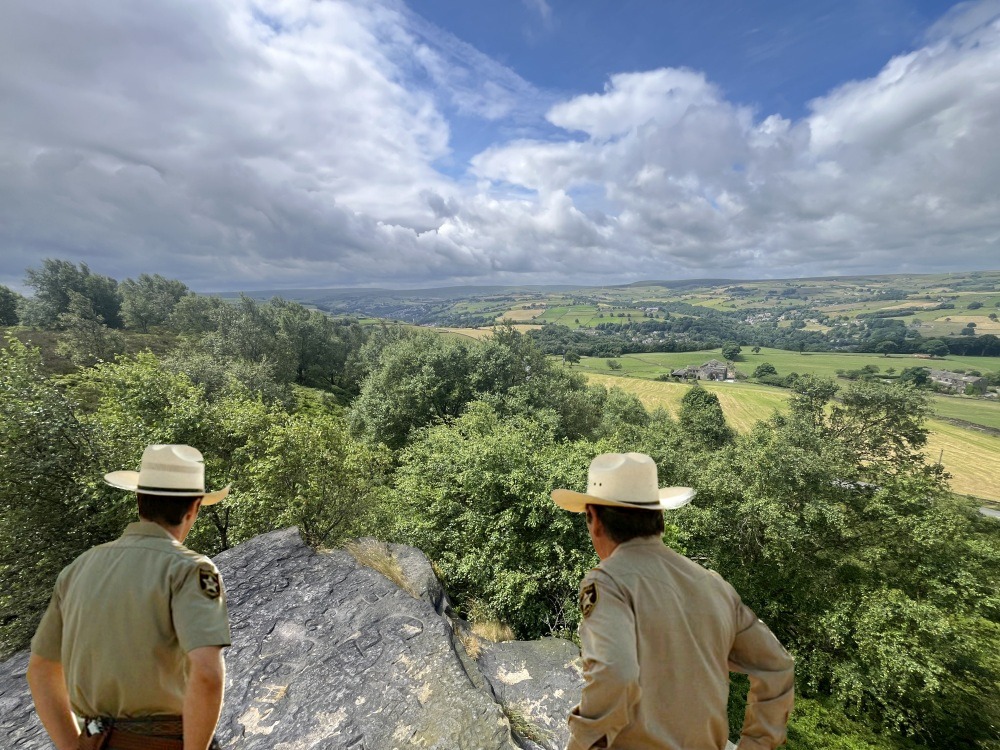
(2) Norland Moor is unusual in this part of the world in being heathland and an almost level plateau. It extends to almost 100 hectares and is a designated nature reserve and wildlife site. It is a popular local recreation space and provides a wide range of nature viewing opportunities.
Please include the walk name or number when commenting on an individual walk.