021 Crowden Black Hill Holme walk
Walk Summary: Hard 7.1 mile linear walk from Crowden, Westend Moss to Black Hill, then by Pennine Way and Issues Road to Holme village.
Start : Crowden Public Carpark
Locality: Holme
Area: South
Start OS Grid reference: SK0724999261
Start What3words : radio.haircuts.messy
Difficulty: Hard
Distance miles: 7.1
Ascent meters: 423
Estimated Walk Time hours: 4.2
Pub & Locality: Fleece Inn at Holme
Parking: Small car park to rear but with roadside parking available on main road near pub. Difficult parking in centre of village
Public Transport: Bus 310 every hour from Holmfirth
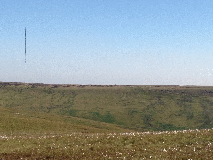
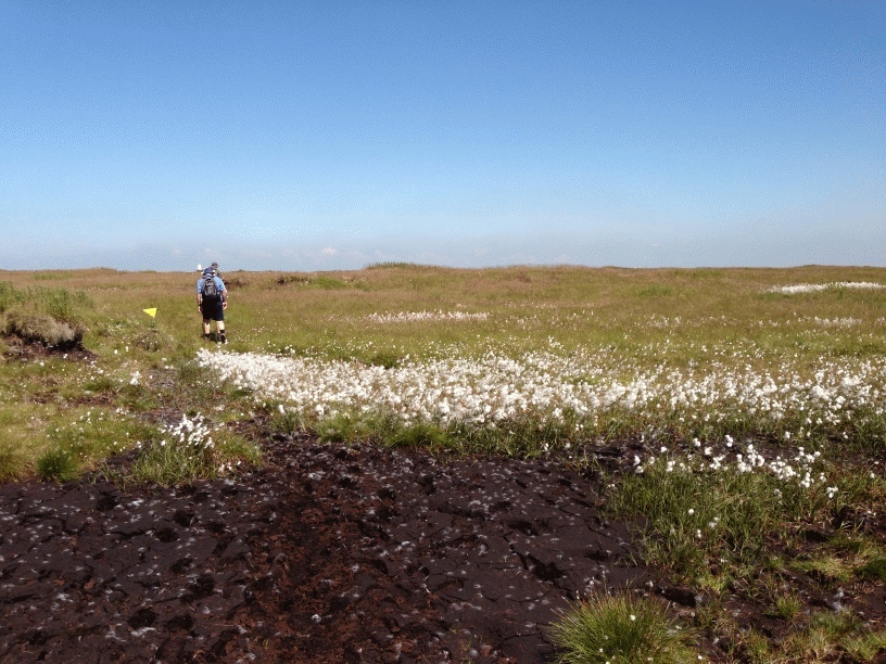
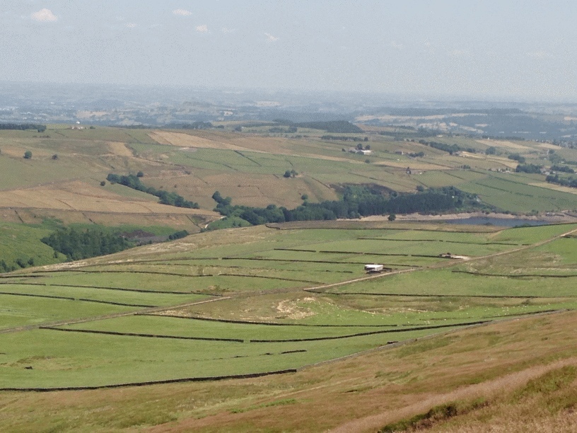
Walk Description: From Crowden Public Car Park, join the Pennine Way northwards, crossing Crowden Brook and climbing steadily on a stone-pitched section that soon gives way to extensive flagged slabs as the route gains height across the western flank of Westend Moss. The ascent is sustained, following the clear Pennine Way line as it rises onto open moorland once traversed by early surveyors and boundary markers. Continue north-east across the high peat plateau, where the improved surface guides you over what was formerly some of the most difficult ground in the Dark Peak, until the prominent trig-pointed summit of Black Hill called Soldiers Lump (1) comes into view. After reaching the summit leave the Pennine Way and turn east onto the wide gritstone slabs of Issues Road ( 2), an ancient packhorse and salt-carrying route linking the moors with the Holme Valley. Follow Issues Road as it descends gradually across Tooleyshaw Moss, maintaining the main paved line as it curves south-east with expansive views towards Holme Moss transmitter mast and the valley beyond. Continue on the historic way to Holme Village. Follow the roadside verge and pavement into the village centre, where the walk ends near the long-established Fleece Inn. The route is generally straightforward to navigate, benefitting from a continuous engineered surface across the moor, though the high plateau remains exposed to severe weather and poor visibility. Transport must be arranged from Holme or via the available bus service due to the linear nature of the route.
Other comments and Points of Interest: (1) Soldiers Lump: this is the historic triangulation point at the simmit of Black Hill used in early Ordnance Survey mapping; once marked the meeting of county boundaries. Called ‘Soldiers Lump’ it was set up by the Royal Engineers in the 1780’s.
(2) Issues Road: Long-standing packhorse and salt route dating back to at least the medieval period; later used as a drove road.
Please include the walk name or number when commenting on an individual walk.