023 Blackmoorfoot round
Walk Summary: Easy 5.6 mile circular walk around Meltham along water conduits
Start: Wills O’Nats pub at Blackmoorfoot
Locality: Blackmoorfoot
Area: West
Start OS Grid reference: SE0902412089
Start What3words: chatters.reckons.taxi
Difficulty: Easy
Distance miles: 5.6
Ascent meters: 266
Estimated Walk Time hours: 3.0
Pub & Locality: Wills O’Nats at Blackmoorfoot is a country pub outside Meltham with good beers serving good value plain fare meals, with easy access and parking
Parking: Large pub carpark
Public Transport: Stotts Bus 335 from Holmfirth to Slaithwaite getting off on Slaithwaite Road at Deer Hill End Road, with an 8 min walk to the pub. Journey time about 35 mins. Check bus times.
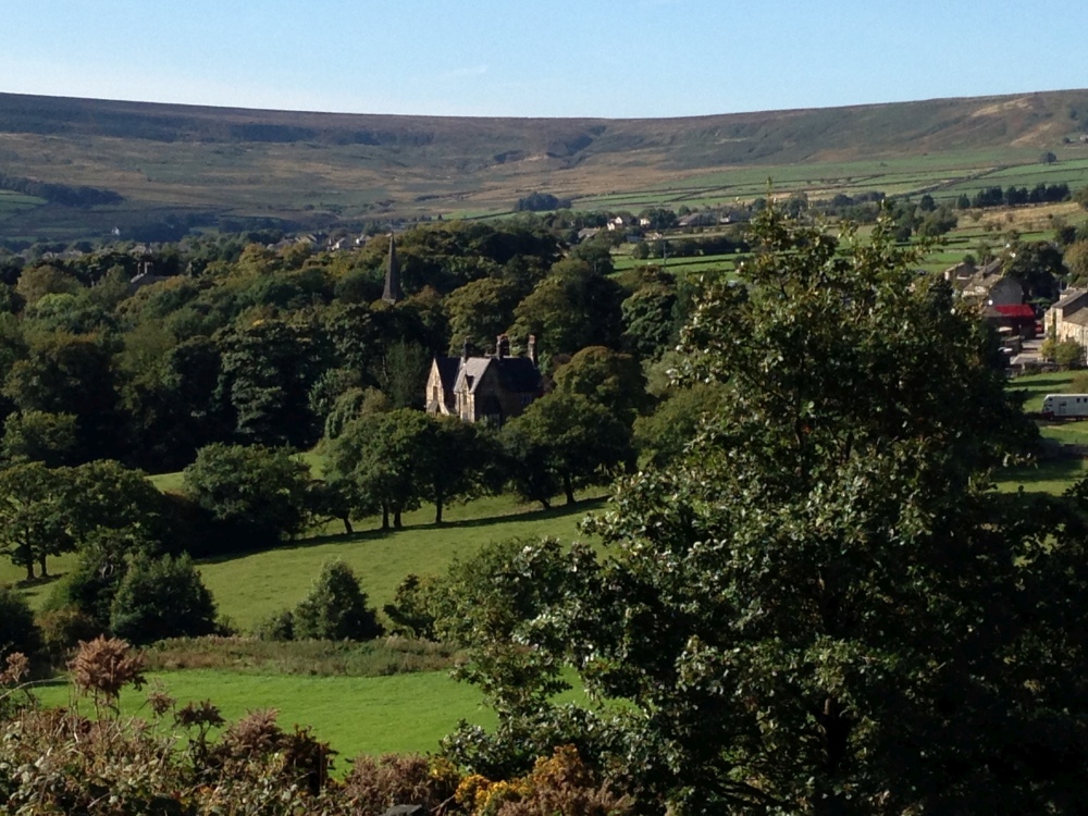
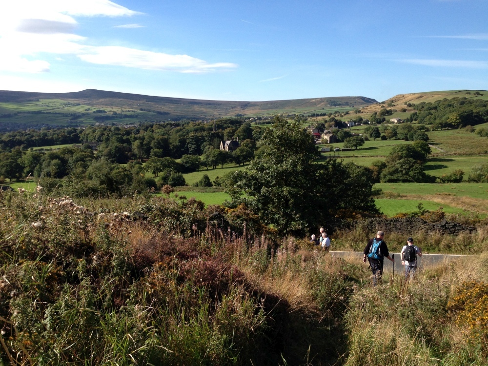
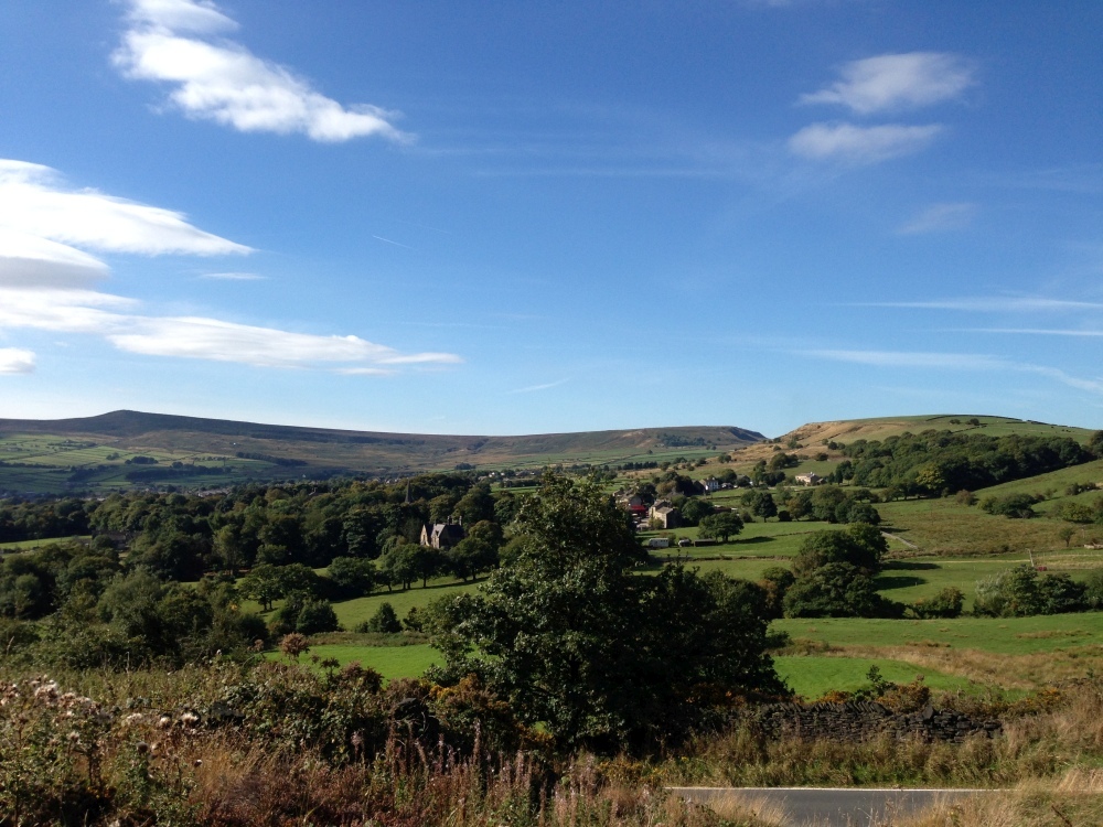
Walk Description: Scenic track along Meltham Cop, across road and field paths by Helme. Paths and tracks by Crosland Edge and S Crosland. Past observatory and paths down to Linthwaite then along Colne Valley Circular. Field paths back up hill to track along Black Moor to Wills O’ Nats pub.
Other comments and points of interest:
(1) Blackmoorfoot reservoir is distinctive in that it is built in a “saddle” at the head of two valleys, on a relatively flat site, requiring long embankments on two sides. Nevertheless it is the largest reservoir in Huddersfield, containing 700m gallons and covering 102 acres. Standing at 832 ft above sea level it has sufficient head to supply most of Huddersfield’s users without further pumping. The reservoir is fed by two catchwater conduits, one from the eastern slopes of West Nab and one which joins it from the Wessenden valley. The former and the joined conduits are followed on the walk.
(2) Crosland Moor airfield was established in 1947 by Sir David Brown and is now used for general aviation. It is designated Huddersfield International!
(1) See also Walk 128 for a similar but different walk around the reservoir.
Please include the walk name or number when commenting on an individual walk.