110 Slawit Merrydale Hill Top round
Walk Summary: Moderate 6.2 mile circular walk from Cop Hill around Slawit and Lingards Wood area walking down Merrydale and returning via Hill Top.
Start : Rose & Crown pub at Cop Hill
Locality: Cop Hill
Area: West
Start OS Grid reference: SE0602813827
Start What3words : fuse.novelists.misty
Difficulty: Moderate
Distance miles: 6.4
Ascent meters: 361
Estimated Walk Time hours: 3.7
Pub & Locality: The Rose & Crown pub at Cop Hill PUB CLOSED
Parking: Pub Carpark
Public Transport: Buses between Holmfirth and Huddersfield every 20 minutes, 310 314 316, then Stotts bus 181 to Wilberlee or 185 to Marsden, with 30+ min uphill walk to pub. Journey time circa 2 hours. Check bus times.
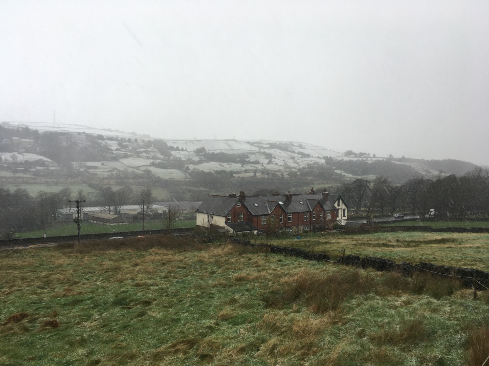
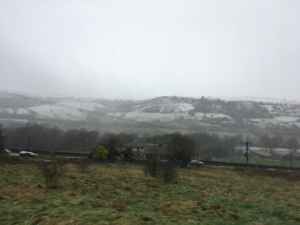
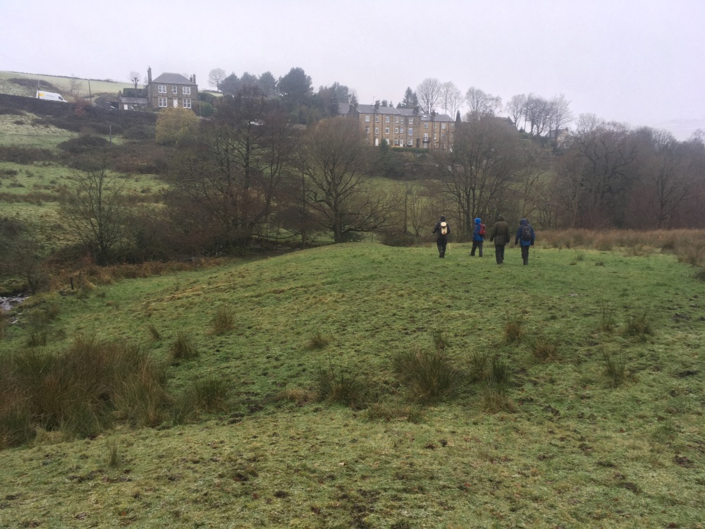
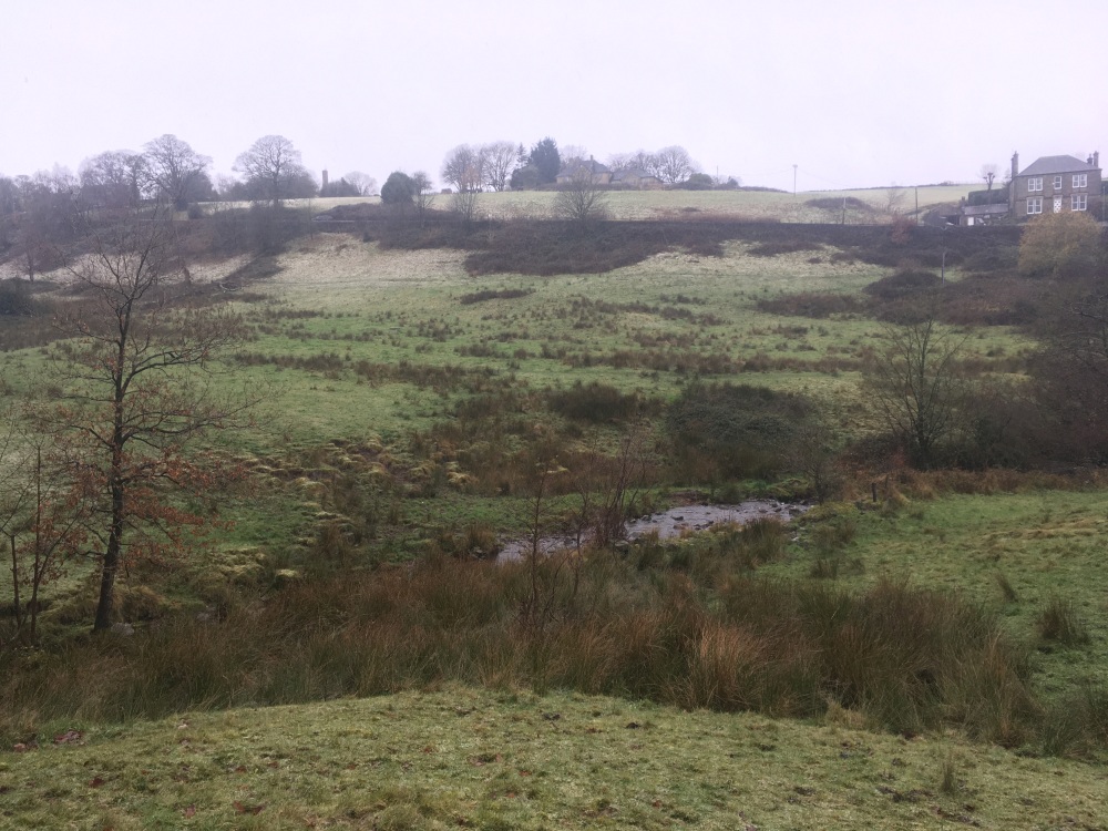
Walk Description: From the start at the Rose & Crown pub, take the path starting from the lane at the side of the building and leading down across the field in front of the pub. Cross the road (Holme Lane) and continue on the path ahead, past Heath Farm, to a short stretch between walls and then head right, towards the buildings of Follingworth. Follow the boundary wall round the side and front of the property (the official path via the paved area in front of the buildings is usually obstructed) and take the path down the field until reaching a stile at the edge of woodland. Descend steeply through the woodland on an initially indistinct path to reach a footbridge, which is crossed, to meet the path running along Merry Dale. Turn right to meet North Lane. The intended continuation down the valley is no longer passable due to a landslide so an alternative route down the north side of the valley is used. To follow this, turn left through Clough House. After 150m bear right down a lane towards a pond at which point take a path ahead, down the valley. As this path turns left, over a water course, take a path on the right. This crosses a footbridge and then climbs steeply through woodland to join the intended path to Slaithwaite. Turn left onto this path, which is clear to follow as it eventually passes between houses to join Holme Lane. Turn left down the steep Holme Lane, under the viaduct and keep following the road until it reaches the bridge over the canal. Cross this bridge and turn left onto the towpath, which is followed past Lock 20 until Lees Mill Bridge, where Lees Mill Lane is followed to the right, now on the Colne Valley Circular (CVC). Continue across the A62 and follow a path ahead to the buildings on Flat House Lane. Turn right onto a track, which becomes a path, still the Colne Valley Circular. Briefly join Linfit Lane, down and ahead, then the CVC path is ahead as the lane turns sharply right. Keep on the CVC down rough pasture to a footbridge and a boggy area, after which the path climbs up to meet Varley Rd. Turn left and after houses on the right a footpath is signed to the right. Follow this path, the CVC, across fields to a lane which is followed to the right and then across Yew Tree Lane. The CVC continues ahead to reach Top o’ The Hill, then briefly right and left into Hollins Lane. The track becomes a path after the buildings at Hollins, past the ruin of Nathans and a rough track is followed briefly. Leave the track as it bends to the right and take the CVC path ahead. Follow this up to a track, where turn right, leaving the CVC, down to the A62 at Lingards Terrace. Take the path opposite, by the side of the Olive Tree Inn, across the River Colne, to reach the canal towpath. Turn right and cross the canal on Booth’s Bridge to join Kettle Lane. Follow this, under the railway and take the path ahead up to Bank Nook. Pass the buildings and join Green Lane, left and up to Marsden Lane, then right to the Rose & Crown.
Other comments and Points of interest: TBA
Please include the walk name or number when commenting on an individual walk.