122 Marsden Butterley round
Walk Summary: Moderate 6.0 mile circular walk from Marsden, taking in Sparth reservoir, Butterley reservoir and Tunnel End, and then back to Marsden.
Start : New Inn at Marsden or Railway station car park
Locality: Marsden
Area: West
Start OS Grid reference: SE0498111515
Start What3words : fallback.monk.chill
Difficulty: Moderate
Distance miles: 6.0
Ascent meters: 359
Estimated Walk Time hours: 3.5
Pub & Locality: New Inn at Marsden
Parking: Street parking nearby
Public Transport: Bus 335 from Holmfirth to Slaithwaite Carr Lane then change to Bus 935 to Marsden. Journey time circa 1 hr 10 min. Alternative with similar journey times Bus 310 Holmfirth to Huddersfield then Transpennine train to Marsden.
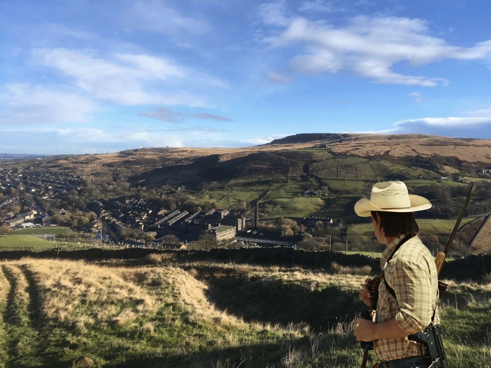
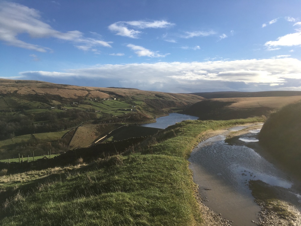
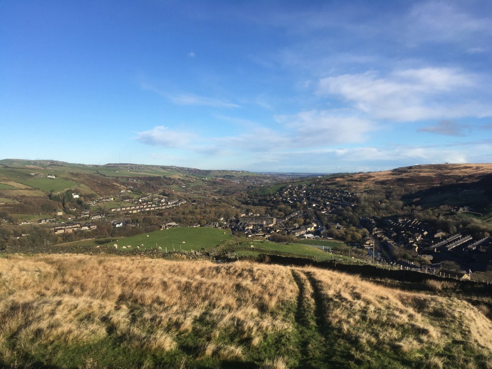
Walk Description: Start from the Railway station car park in Marsden and locate a footpath in between the National Trust office and the car park entrance from Station Rd. The short path leads through trees down to the canal, where you join the towpath and turn left. This excellent path passes Sparth reservoir on your left and the intended route leaves the towpath, to the right, at a footbridge shortly after. However, recent work has resulted in this path being closed, so continue along the towpath for approximately 330m where a footpath will be noticed on the right. Take this, often muddy path, across the river, through trees and a field to reach the A62 road at the Olive Tree Inn. Turn right at the road and after terraced houses locate a signed footpath on the left. Follow this steeply up for about 200m and take a footpath on the right, up a bank and through a stile. This is part of the Colne Valley Circular. Follow this path alongside a fence and then into woodland, which is a natural memorial area, and as the path reaches the end of the wood follow it to the left and onto a track which leads up to Chain Rd. Turn right on the road and then, after 60m, cross onto a track. Keep following the track, straight ahead until a ford is reached and the path turns left towards a quarry. Pass beneath the quarry, still on the path, which then drops steeply and continues contouring the hill side, still the Colne Valley Circular. The path tends to the left and climbs the hillside, avoiding a deep gully and then joins a hard surfaced track, where you turn left. Pass the isolated buildings of Upper Acre Head, through a gate and reach the conduit track where you turn right. After about 750m there is a path on the right leading back down steep steps to join a turning circle at the end of Binn Lane. Descend Binn Lane until a waterworks track on the left, which you take and shortly leave to cross the Butterly dam on your right. Having crossed the dam, continue on the path to join a lane and then left to reach Mount Rd. Cross the road, into a housing estate road and bear right onto a path leading up to Old Mount Rd. Turn right and then left onto a track towards Clark Hill Farm. Immediately before the farm turn left across rough grass to reach a footpath which turns left and climbs a steep gully. At the top this reaches a surfaced track, which you join and turn right. This leads to Haigh House where you pass through a gate and onto New Hey Farm. Take the field gate at the front of the farm and down the field ahead to a gate. Through this gate turn left onto a clear path which descends to a footbridge over a brook. Continue on an indistinct path, tending left, then following a wall towards Intake Head Farm. The route now turns left and then passes to the rear of the buildings to join the hard track which connects to the A62 road. Follow this down to the road and cross over to join a lane on the left, 50m towards Marsden. Follow this (Ainsley Lane) until crossing a bridge, after which there is a footpath on the right. This leads down to the canal basin where a footbridge gives access to the towpath, your route back to the start.
Other comments: TBA
Please include the walk name or number when commenting on an individual walk.