114 Marsden Pule Hill round
Walk Summary: Moderate 6.2 mile circular walk from Marsden along the canal path to Sparth reservoir, then over the canal to join the Kirklees way up to Green Owlers, down to Hey Green, cross the A62 and along the Standedge Trail, climbing up Pule Hill and dropping down into Marsden.
Start : Riverhead Brewery Tap pub in Marsden
Locality: Marsden
Area: West
Start OS Grid reference: SE0489511644
Start What3words : offline.proves.tried
Difficulty: Moderate
Distance miles: 6.2
Ascent meters: 421
Estimated Walk Time hours: 3.8
Pub & Locality: Riverhead Brewery Tap, Marsden
Parking: Street parking near pub
Public Transport: Bus 335 from Holmfirth bus station to Slawit then Bus 938 to Marsden. Journey time circa 1 hour 10 minutes. Check bus times.
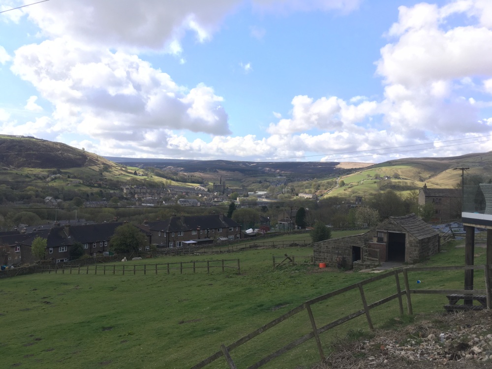
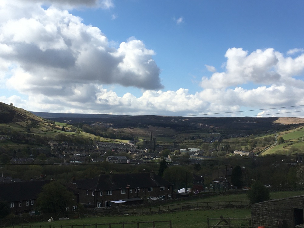
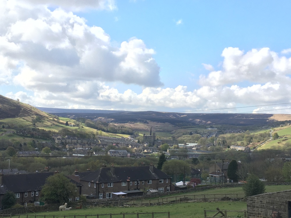
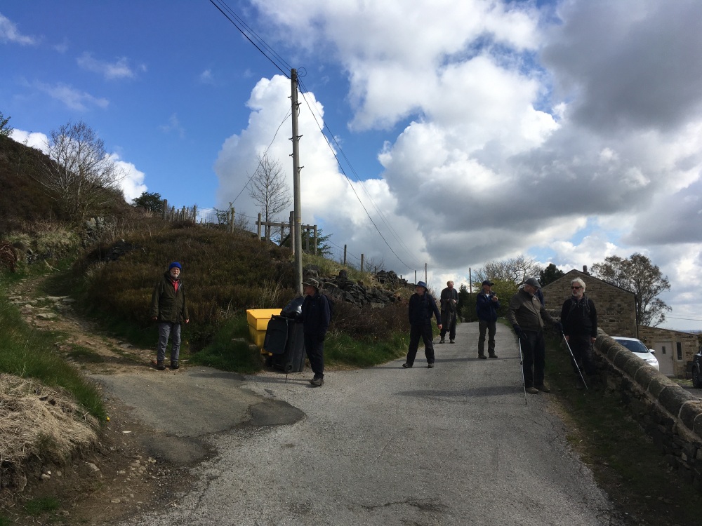
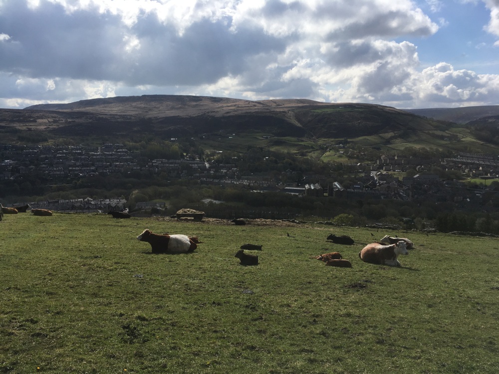
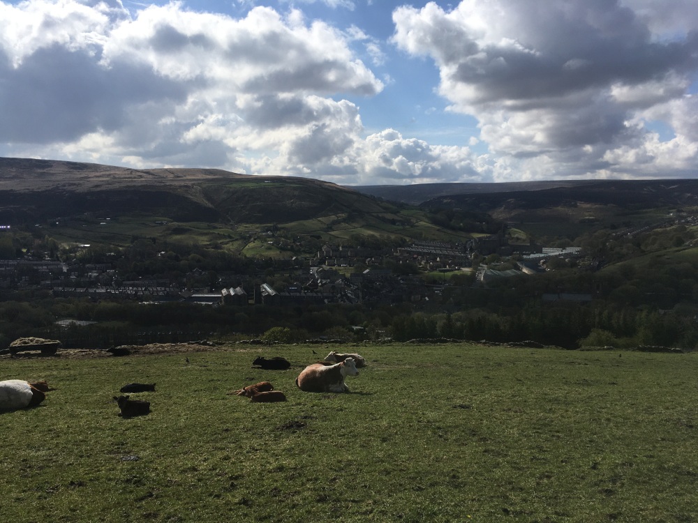
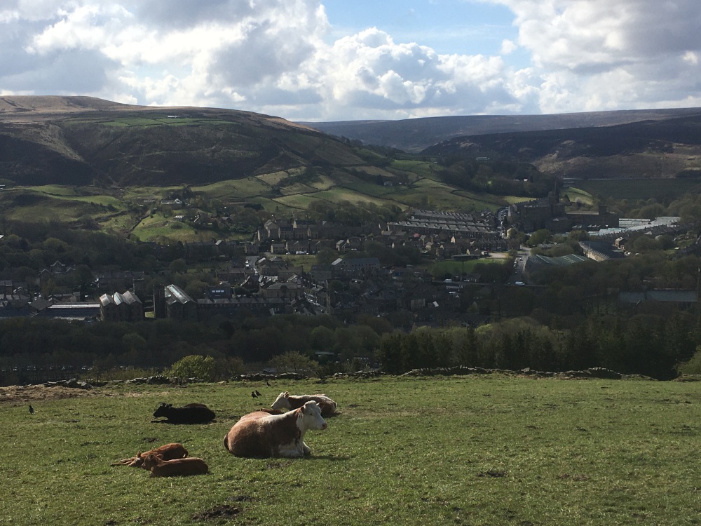
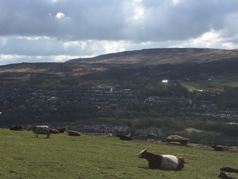
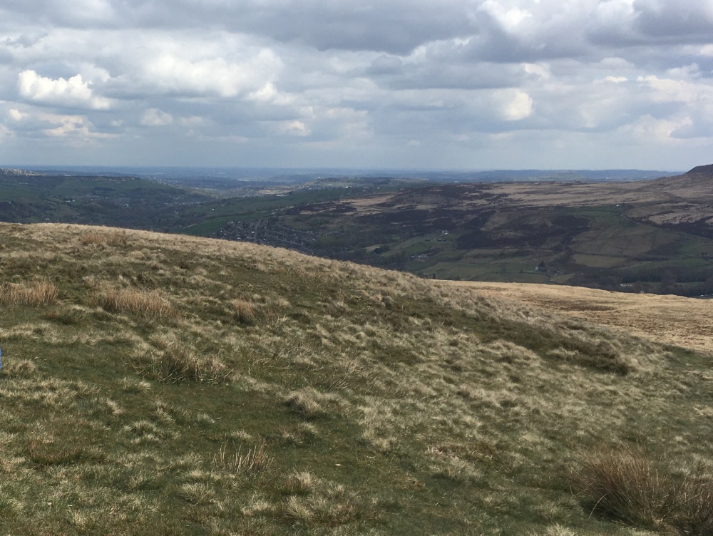
Walk Description: Start from the station car park in Marsden and leave it by walking past the National Trust office and a bus shelter, towards the canal towpath. Join the towpath and turn right, towards Slaithwaite. When Sparth reservoir(1) is reached, cross the canal on a stone bridge and take )the path that runs along the south side of the reservoir. Follow this until it meets a lane, where you turn left. On reaching Park Gate Rd, turn left and then right onto a lane, passing under a railway bridge. Immediately after the bridge turn left onto a path which climbs steeply up a bank, through woodland. Care needs to be taken here as there are steep drops on your right-hand side, and the path is awkward underfoot in places. The path exits the woodland at a stile, which is crossed into scrubby and unkempt grassland. As the buildings of Ashton Binn are approached the path climbs steeply and although improvement works are ongoing, this can be a difficult stretch, particularly when slippery. Fly tipping can present further hazards. After passing through the buildings of Ashton Binn the path becomes a lane (Spring Head Lane) for approximately 200m until a track on the right is followed. This is rough and stony in places but is easily followed until it reaches a crossroads at Huck Hill Farm. Continue straight across and keep following, past a number of isolated buildings and ignoring any paths or lanes to either side. Eventually a road junction is reached, where you turn right and follow as the track becomes a path to the rear of Fair Hill Farm. The path crosses rough grazing land but is straightforward to follow, past a bench seat, then descending to a stream, usually with boggy ground to cross. After the stream, the path is roughly paved and a path will be seen on the left, again usually boggy. Take this path and follow it downwards across the valley side, noting that there is short stretch across a steep shale slope, where care is needed. A stile is reached and crossed to a path, alongside a wood and marked with post and rails. At its end, the path descends by steep stone steps to reach Blake Lea Lane, where the route is briefly to the left and then right up a lane marked Private Road. This leads up to the A62, Manchester Rd., which is crossed to a stile on the other side. Over the stile, the path leads upwards and to the right, behind the buildings of Moorlands Farm, then across rough grazing land, with boggy patches. There is a prominent ventilation shaft for the railway tunnel ahead and the path skirts this to meet a clear ramp up to the quarries ahead. At the quarries either, turn right and scramble up to join a path running across the top of the quarries or, alternatively, keep following the ramp past the quarries. The second option avoids a scramble but does also mean that you may miss a Stanza Stone (2). Having reached the top path, turn right and follow up to the summit of Pule Hill, where a welcome rest will be enhanced by fine views (with luck (3)). To descend from Pule Hill, turn left, eastwards, off the path you have used and follow a clear path steeply down a grassy slope. As the path levels, there is a fork, approaching a quarry, (4) where you keep left. This passes a pond and shortly after, joins a path and beyond it, a vehicle track, which is followed to the left. After some 400m the track bends left and a path continues straight ahead, alongside a wall. Follow this, sometimes indistinct path, through a gate and downwards to reach Manor House Farm, which is passed on your right. Keeping all the buildings to your right there is a rough gate, which is passed through, and the course of a sunken track is followed on the higher ground to its right hand side. This leads down to a stile, which is crossed and the path descends through Rook Wood to reach Old Mount Rd., at Throstle Nest. Turn left and cross the A62, with care, into Town Gate then bear left into Church Lane, past St Bartholomew’s on your left. At the crossroads, turn left up Station Rd., to the car park, and your starting point.
Other comments and Points of Interest: (1) Sparth reservoir is a popular wild swimming spot and was used by local schools! The reservoir was orginally built in 1807 to top-up the water in the Huddersfield Canal
(2) On the righthand side of the quarry you may locate one of a series of Stanza Stones, composed by the poet laureate, Simon Armitage and inscribed in the rock.
(3) You may wish to ponder and marvel that Mesolithic remains have been found on this windswept prominence. Also, much later objects have been found, including a burial urn.
(4) What is now Worlow quarry is thought to be the site of a Roman signalling station on the road from Castleshaw, in Saddleworth, to Slack in Outlane. You follow the route of this road as you descend to Marsden.
Please include the walk name or number when commenting on an individual walk.