111 Holme Wessenden Digley Round
Walk Summary: Moderate 5.9mile circular walk from Holme, up Issues Road to Pennine Way to A635. Kirklees Way along Nether Lane down to Bilberry Dam to Holme. Holme Village to Wessenden Valley
Start : Fleece Inn at Holme village
Locality: Holme
Area: West – Diggle walks
Start OS Grid reference: SE1077405865
Start What3words : counters.flopping.deduct
Difficulty: Moderate
Distance miles: 5.9
Ascent meters: 365
Estimated Walk Time hours: 3.5
Pub & Locality: Fleece Inn in Holme village
Parking: Small car park to rear but with roadside parking available on main road near pub. Difficult parking in centre of village
Public Transport: Bus 314 to Holme every hour from Holmfirth. Check bus times
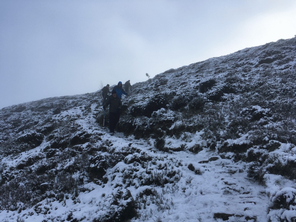
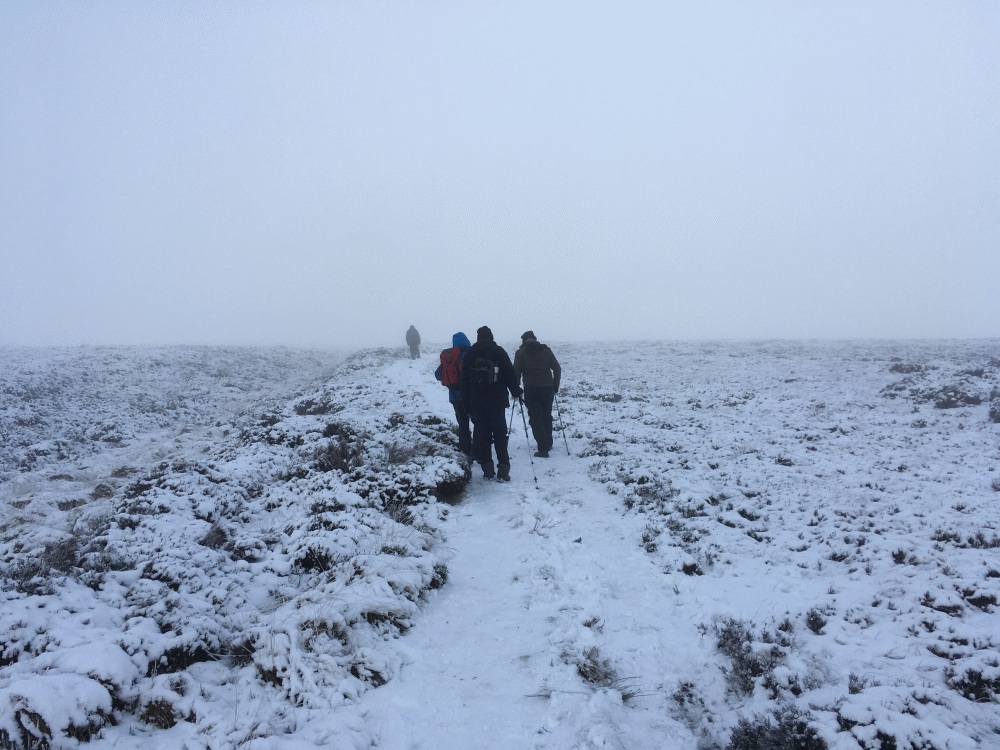
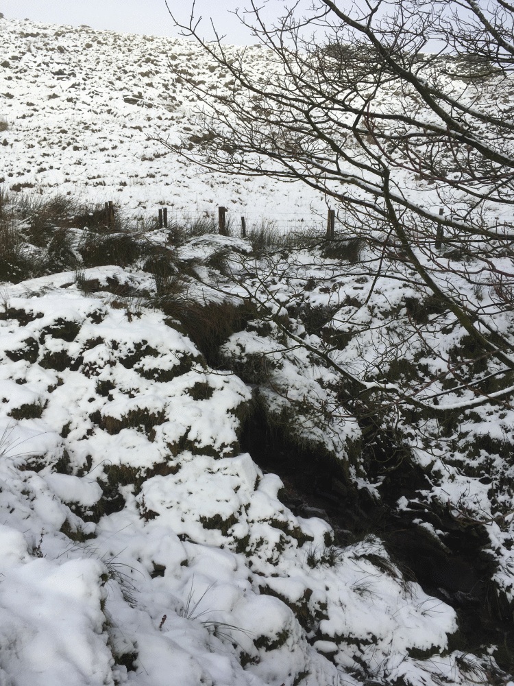
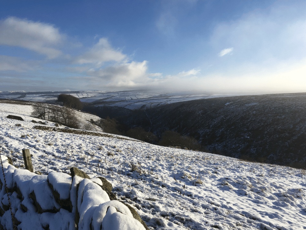
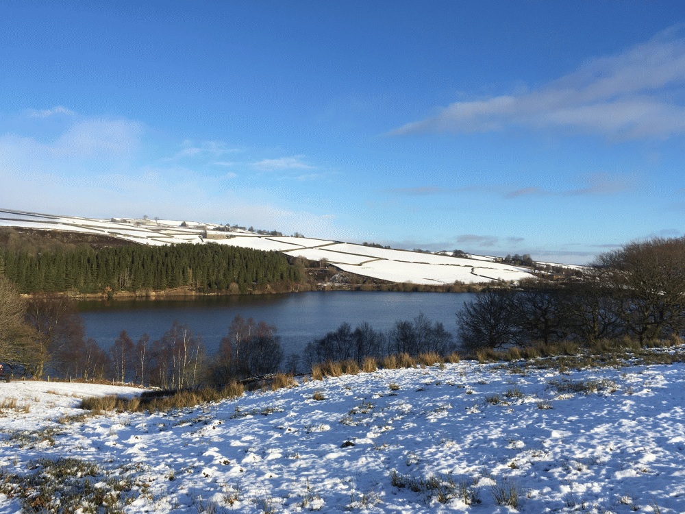
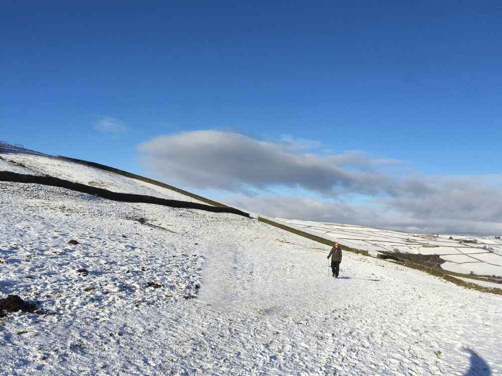
Walk Description: Starting from the Fleece Inn, turn left and walk down the road for 100m to a cobbled square on the left and the start of Meal Hill Rd. Take this road, past a school and continue as it becomes an unpaved but broad track. Ignore tracks to the right and keep ahead on the long straight route of what is now Issues Road. As the track enters open country the going is rougher but keep straight ahead, across a ford and then steeply up a grassy slope where there are optional routes. These will lead up to the prominent path of the Pennine Way, at which turn right. The path is straightforward until reaching Dean Clough where there is a steep and rough descent and ascent. Continue until reaching the A635 road but don’t join it, instead follow the wall to the right. In a little over 100m this brings you to a path, marked by a stile on the left. Turn right to follow the path (the Kirklees Way) down, on rough pasture, turning to the left at the end of a wall on your left. The path then becomes a ditch and is easier to use on the higher ground on the right. Pass woodland on the right and a wet section of path which leads to a gate and stile. Continue straight ahead on the firm surface of Nether Lane, past Goodbent Lodge. The lane is followed until after the ruined building of Greaves Head where a lane to the right is followed, then sharply back right to lead down to Bilberry Dam (1). Cross the dam and climb steeply up a narrow path and into rough pasture where the path continues left. Immediately after a footbridge take the less prominent path on the right which leads upwards across fields and stiles until eventually reaching Holme village at Meal Hill Lane. Follow your outward route in reverse to reach the Fleece Inn.
Other comments and Points of Interest: (1) Bilberry dam is remembered as the cause of one of Britains worst reservoir disasters, when in 1852 it burst, flooding the Holme valley and killing 81 people. It was subsequently found that the construction of the dam was deficient. Although this was the worst flooding event in the Holme valley, regrettably it was not the only one and there have been at least 5 such major episodes, the last one being in 1944. This latter one was overshadowed by the Normandy landings with which it coincided. Ironically, German PoW’s participated in the rescue efforts.
Please include the walk name or number when commenting on an individual walk.