090 Washpits Textile heritage round
Walk Summary: Easy 5.7 mile circular walk from Washpit Mills highlights the textile heritage of the area, and takes in Cartworth, Hinchliffe Mill, Holmbridge, past White Gates Farm and Elysium, across the River Ribble Reservoir to Choppards and back to Washpit Mills.
Start : Carding Shed cafe, Washpit Mills
Locality: Washpit Mills, Choppards
Area: South
Start OS Grid reference: SE1427906774
Start What3words : digestion.uncle.lodge
Difficulty: Easy
Distance miles: 5.7
Ascent meters: 348
Estimated Walk Time hours: 3.4
Pub & Locality: Carding Shed at Washpit Mills
Parking: Large parking area at back of cafe.
Public Transport: Various buses from Holmfirth eg 310, 25 and 29, up the Dunford Road. Bus takes 5 minutes then a 10 min walk up to Washpit Mills. Journey time 15 minutes. Check bus times.
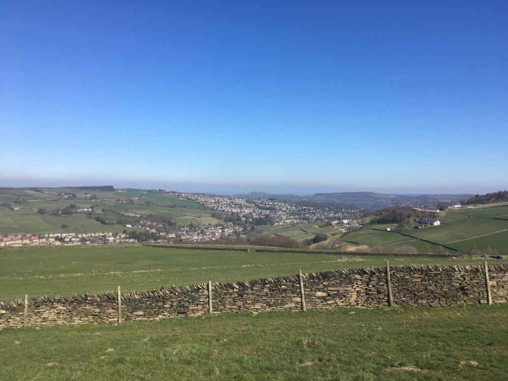
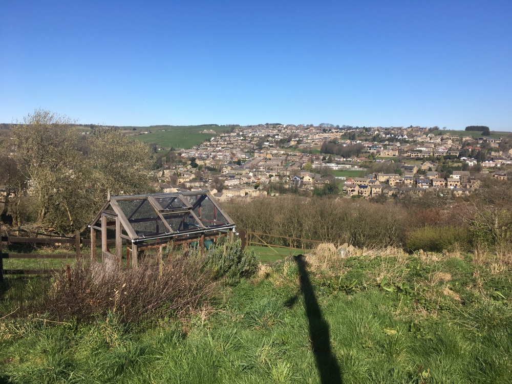
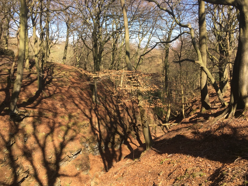
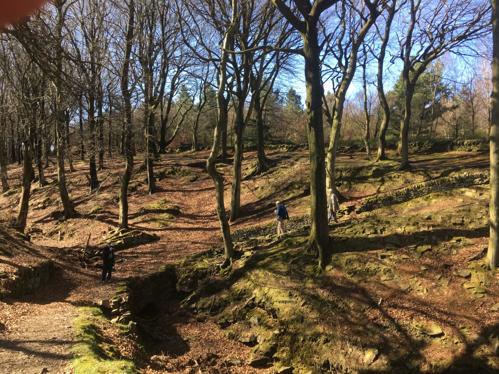
Walk Description and points of interest: Set off from Washpit Mills car park, up the cobbled hill, locally called “S” Lane but officially called Green Lane to meet Lamma Wells Road . At the T junction turn left, then at the first fork down the road, turn right up the dead end Arrunden Lane. Go up the road and at the first left right angle before the cottages, go directly up the path beside the stream. These 18th century cottages were all involved in hand spinning and handloom weaving. The steep path at the edge of the wood used to be a pedestrian highway bringing all the inhabitants of Wellhouse and Cartworth Moors old farming community down to the valley mills. Street lights to guided the mill workers up and down the pathway. After the steep ascent you get to Cartworth Bank Road, turn left then walk up the road to Wellhouse. This hamlet had its own chapel which you pass on the left. Carry on up to the first crossroads of Cartworth Moor Road. On your right was site of the popular Rising Sun pub, opposite the windiest cricket club in Christendom on your left. The pub burned down in the 1980’s and has been a farmstead since then with a popular camping and caravan park alongside it. Turn right here down the ancient bridleway, Ward Banks, taking in a splendid view into the next valley, the main Holme Valley and its 30+ mills. Half a mile down this bridleway is the ancient hamlet of Ward Place, now beautifully renovated after decades of decay. Turn down the path here. These cottages all worked on handweaving in the day. Down the lane turn left onto Brow Lane and up the road to take the first track right, down to the old Malkin House Farm. This was both a farm and a master weavers house with a third floor weaving loft – see the many contiguous windows on the top storey for extra light. It has the external stone staircase round the back for workers to enter and leave, separate from the two storey farmhouse. The master weavers handled their own production. Many of the cottages you see had yarn delivered each week to weave cloth for the master at a fixed rate. Often they did not own their own handloom but leased it from the master. Carry on through the Malkin House path across the field and into the woods. You are now passing through what was a large quarry -roviding good quality stone for the locality, the region and nationally. Carry on down to the river Holme and turn left along the river bank to Lower Hinchliffe Mills, now derelict. turn right over the footbridge and then left through the old mill yard millworkers cottages. As you walk up to the hamlet of Dobb you pass the old mill dam on your left. You then head up to Moss Edge and join the Holme Valley Circular Walk path. Usually there are sheep pasturing up here. Today the wools of the hill sheep are considered too coarse for modern sensitive skins and are used mainly for carpets. Crossing Upper White Gate you then pass the isolated farm of Elysium. from there you come back to the Ribble Valley passing below Holme Styes reservoir. The early textile mills built their own reservoirs before the Councils were fully established. By agreement in Victorian times these reservoirs were subsumed into the Councils growing populations water needs. Continuously running water was essential for the livelihood of the population employed in the mills. Passing down Cote Lane all the cottages were involved in hand spinning and weaving. At ‘Cote’ house, half way down the lane , the last industrial handloom left the valley in 2024 [watch video for story]. This row of cottages is typical of the district. Built into the hillside with the ground floor below the road, yarn in and cloth out was through roadside doors into the first floor handloom loft. Early 19th century census’s recorded three families living downstairs in each of the cottages, carrying out part time stone delving and handloom weaving. The movement of textiles from a cottage industry to industrial scale did not happen all at once but over 70 or 80 years in the 19th century as it became harder and harder for handweavers and spinners to compete against the industrialisation process. Passing down the steep cobbled Pennine hill hamlet of Choppards, taking a slight detour at the bottom of Choppards Lane. On your left is a row of fine old three storey weavers cottages called Choppards Building. The third floor weavers loft was accessed until the 1980’s by a ‘flying bridge ‘ at the back of the building from the hillside directly into the third floor weavers loft to access deliveries of yarn in and cloth out. 30 metres along the footpath to the cottages at Choppards Mill, there was an example of the early ‘cottage mill’. i.e. the first attempt to move from cottage hand production onto early mass production with waterwheels. The allotment is the footings of this early mill with its long narrow dam going up the valley 15 metres above the river. As you approach the old mill dam of Washpit Mills, the walk ends at the excellent Carding Shed cafe.
Other comments: TBA
Please include the walk name or number when commenting on an individual walk.