019 Winscar to Holmfirth walk
Walk Summary: Hard 8.0 mile linear walk from Winscar to Holmfirth via Snailsden Edge, Cook Study, Ramsden Road, Hinchliffe Mill and along River Holme back to Holmfirth.
Start : Transpennine trail carpark at Dunford Bridge
Locality: Holmfirth
Area: South
Start OS Grid reference: SE1579002350
Start What3words : broadcast.teeth.outgrown
Difficulty: Hard
Distance miles: 8.0
Ascent meters: 220
Estimated Walk Time hours: 4.3
Pub & Locality: Old Bridge hotel at Holmfirth
Parking: At Winscar, use the public car park along side River Don near the Reservoir dam embankment. At the finish in Holmfirth, use on-street parking or the large public carpark at Crown Bottom near Coop supermarket.
Public Transport: Bus 25a and 29 from Holmfirth Bus Station to Townhead and Dunford Bridge, with 10 min walk to Winscar. Reservoir. Journey time about 35 minutes. Check bus times as infrequent. Pub 1 min walk from Holmfirth Bus station.
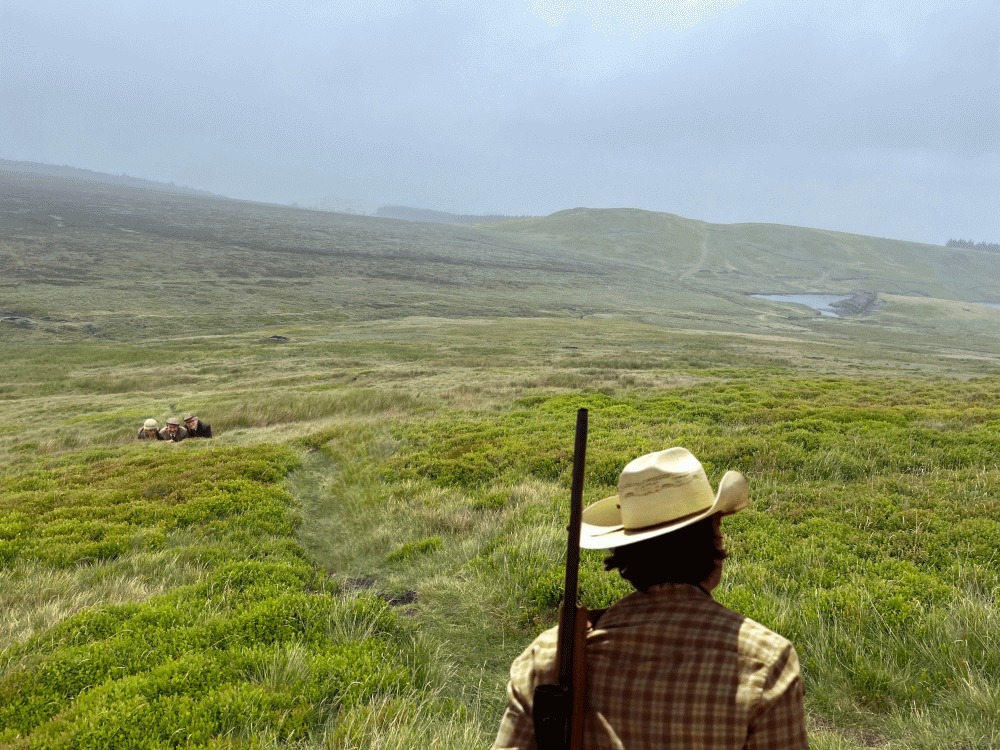
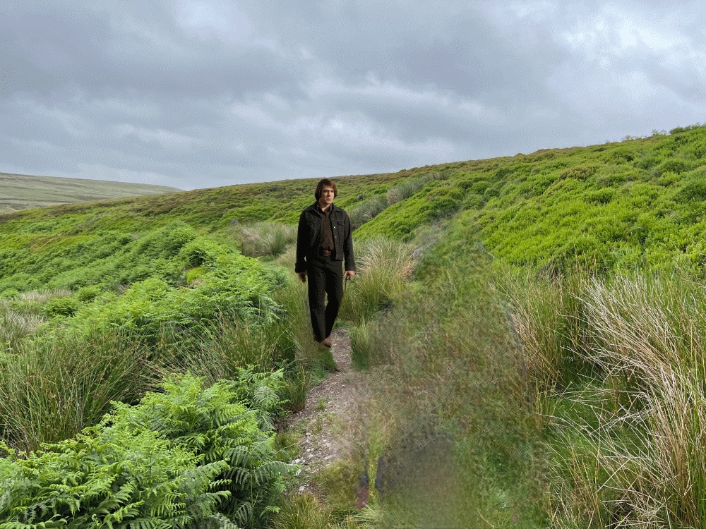
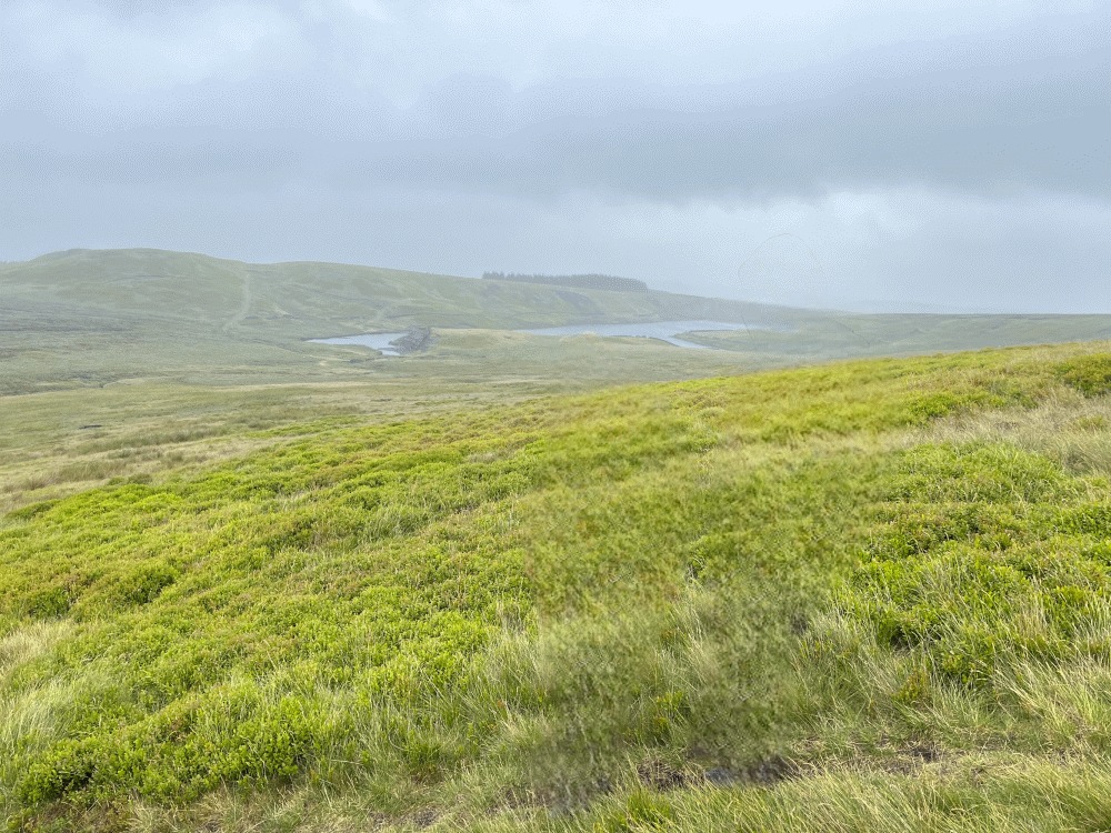
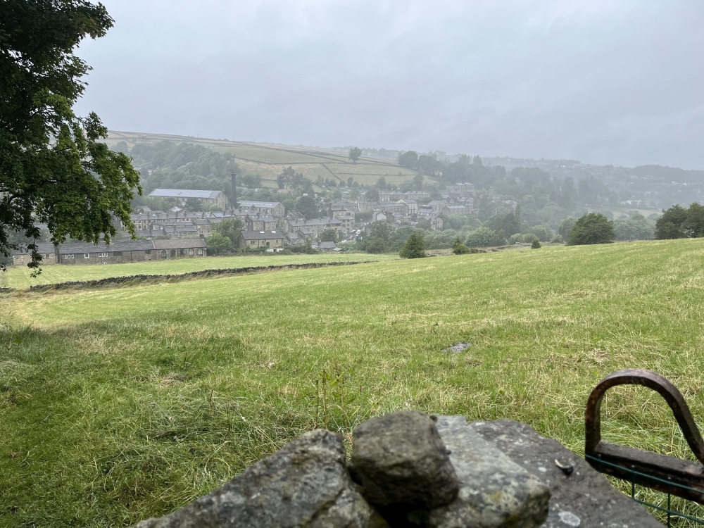
Walk Description: From Winscar Reservoir (1) car park, cross the Dunford Road and take Don View road towards the dam embankment, taking a track at the foot of embankment, turning left and walking up the edge track of the embankment to the road along the dam crest. Turn right northwards across the dam and continue along the road by the reservoir. Re-join the Dunford Road and then fork left to Harden Reservoir (2), turning left across dam crest and then immediately right on crossing dam, along a track following the southern edge of Harden Reservoir. Follow this track, eventually turning left across Lower Snailsden Moss, then right along to Snailsden Edge. Follow the edge, reaching Snailsden Pike End (477m). Enjoy the views from this high point overlooking Ramsden Clough (3). At the grouse butts go straight on northwards towards Cook’s Study Hill (4). On reaching the Linshaw Road/White Gate Road, turn left and continue along the road with Holme Styes Wood on the right. On reaching a cross roads before the White Gate farms, turn left along Ramsden Road. Follow this road down into the valley, eventually turning into a track descending down Bank Clough to the outskirts of Holmbridge. The track eventually crosses Dobb Dike, reaching Hollin Brigg Lane. Cross this road and walk along Acre Lane for about 200m then turn left down a track to Waterside to reach Dobb Lane. Cross the bridge over the River Holme at Hinchliffe Mill. Walk along Water Street and continue along the bankside track with the river and the old Mill remains on the right. Keep on this track between Bottoms Mill pond and the river. Walk behind Bottoms Mill, eventually coming out onto the A6024 Woodhead Road near the Perseverance Place housing estate. Continue along the Woodhead Road, then cross over the river onto Lower Mill lane and along Hollowgate to Victoria Road and thence via Market Walk to the Old Bridge Hotel.
Other comments and Points of Interest: (1) Winscar Reservoir – constructed in the 1970s by damming the upper River Don, Winscar Reservoir supplies water across South Yorkshire.
(2) Harden Reservoir and Snailsden reservoirs – were built in the mid 1890’s serve the industrial West Riding. The stonework, embankments and spillways are typical of Victorian water engineering developed to power mills and supply the growing textile towns.
(3) Ramsden Clough – is a steep-sided, scenic valley (clough) known for its dramatic, highland-like landscape above Ramsden Reservoir. Also known locally as “Monkey Nick,” a local legend claims a circus lost one of its acts in the clough between the wars.
(4) Cook Study hill – cnce the site of a 19th-century building (a “study” or shooting lodge), only ruins now remain. It offers panoramic views
Please include the walk name or number when commenting on an individual walk.