013 Honley Farnley Tyas round
Walk Summary: 5.3 mile circular walk from A616 to Farnley Tyas. Across to Castle Hill and back down to Honley.
Walk starting point: Jacobs Well pub at Honley
Locality: Honley
Start OS Grid reference: SE1410211881
Start What3words : sleeper.soldiers.clapper
Difficulty: Easy
Area: North
Distance miles: 5.4
Ascent meters: 296
Time hours: 3.1
Pub & Locality: Jacobs Well pub at Honley
Parking: On road nearby
Public Transport: Buses between Holmfirth, Honley and Huddersfield every 20 minutes e.g. 310, 314, 316. Journey times approx 15 mins from Holmfirth.
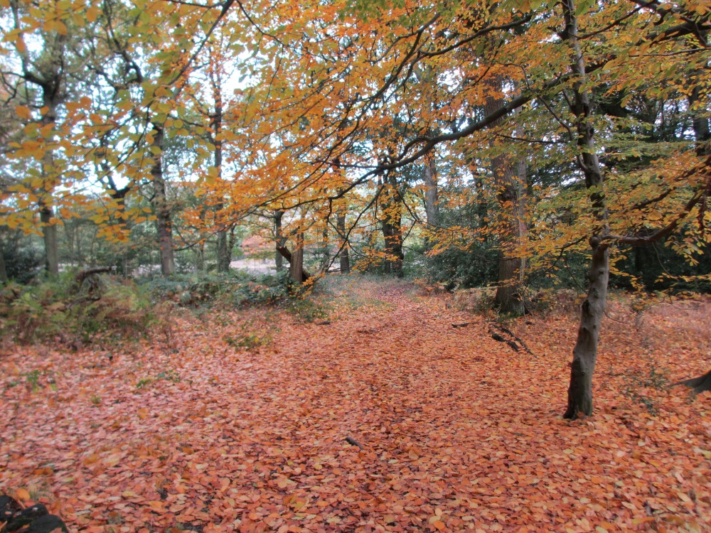
Walk Description: Starting from the Jacobs Well pub, turn left towards the traffic lights, then right and right again at New Mill Rd. After 200m turn into Gynn Lane on the left and after a further 100m bear right into Marsh Platt Lane. In 200m there is a footpath on the left, which is followed through a tunnel under the railway, turns right and then left across fields. Approaching houses, there is a path to the left, which is followed to Hollinhurst Farm, where a lane is joined and followed to the right. At a junction with Hall Ing Lane, turn right and in 50m turn right onto a broad path. Follow this until a lane is reached, where turn left, passing Ludhill and at the buildings of Middle Ludhill turn left onto a track. As the track enters a wood it meets a path where you turn right. Keep following, either in the wood or along its edge until it becomes a field path and meets Honley Rd. Follow the road to the right, into Farnley Tyas village (1) and bear left down Woodsome Rd. After 50m down the road, note a track on the left (Cliffe Lane) and follow it. At the end of the track there are two footpaths, one straight ahead and the other bearing right. Follow the latter. The path is clear and easy to follow through woodland and fields and when approaching buildings (The Lumb) take a footpath to the right, at a path junction and then follow it left, to a lane (Lumb Lane). Cross the lane and a field path continues upward. On reaching Clough Hall Lane (2), turn left and at its end, right, and immediately left (past a building) onto a footpath. Take the second path on the left, about 300m from the lane, until a path junction is reached, where turn right. Follow this path across fields and past woodland to your left, until a road is reached. Turn right on the road and immediately down a path to the left, past Stirley Hill Cemetery. Keep on this path, ignoring a path heading left, cross a track and continue on the path with woodland to your right. The path is down, over rough pasture and along the edge of woodland. It leads under a railway tunnel to Woodhead Rd, which is crossed, and alongside the River Holme, crossing at a road bridge, then left into Magdale. Mag Brook is crossed on a footbridge into an open grassy area and the clear path follows alongside the River Holme. On reaching the road keep straight ahead and at the traffic lights turn right to the Jacobs Well
Other comments and points of interest: (1) Farnley Tyas was mentioned in the Domesday Book of 1086, when it was called Fereleia. Tyas is the name of the le Tyeis family who were landowners here from the 13th century.
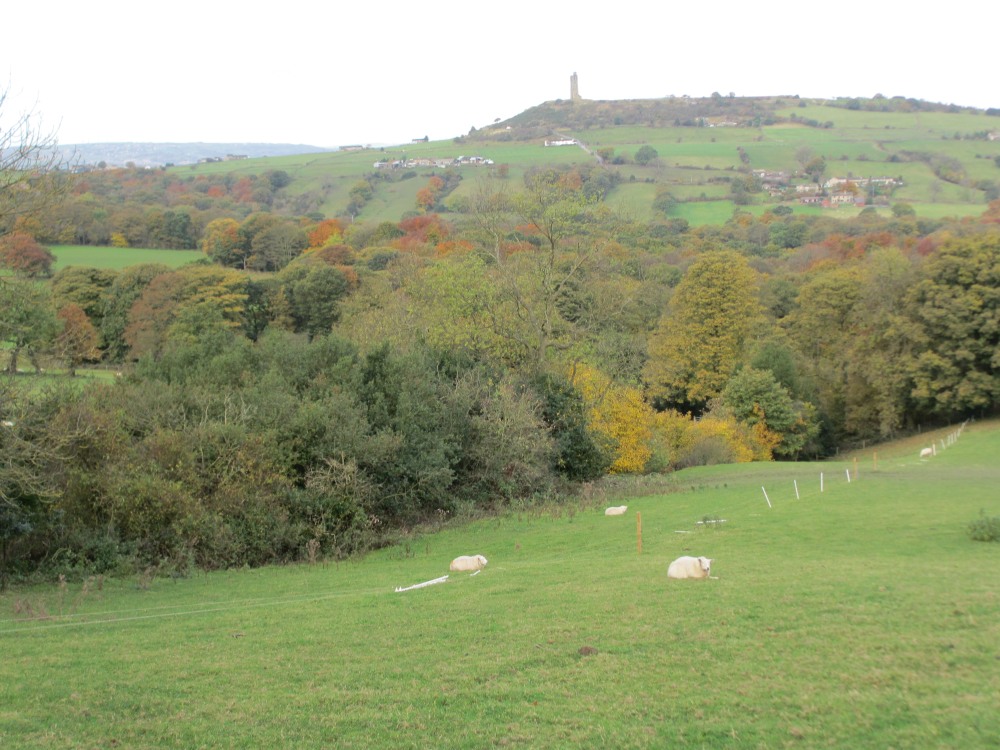
(2) The prominent Castle Hill, ahead of you, is a scheduled ancient monument dating back over 4000 yrs. It is described as an Iron Age hill fort, fortified with defensive ditches and ramparts but there is evidence of human habitation even earlier, in Mesolithic times. The present-day landmark is the Victoria Tower, which is Grade 2 listed, despite desecrating a notable archaeological site.
Please include the walk name or number when commenting on an individual walk.