003 Standedge to Holme village walk
Walk Summary: 8.5 mile linear walk from Standedge near Diggle to Holme village via the Pennine Way. All on paths or tracks, some on exposed moorland which can be unpleasant in bad weather.
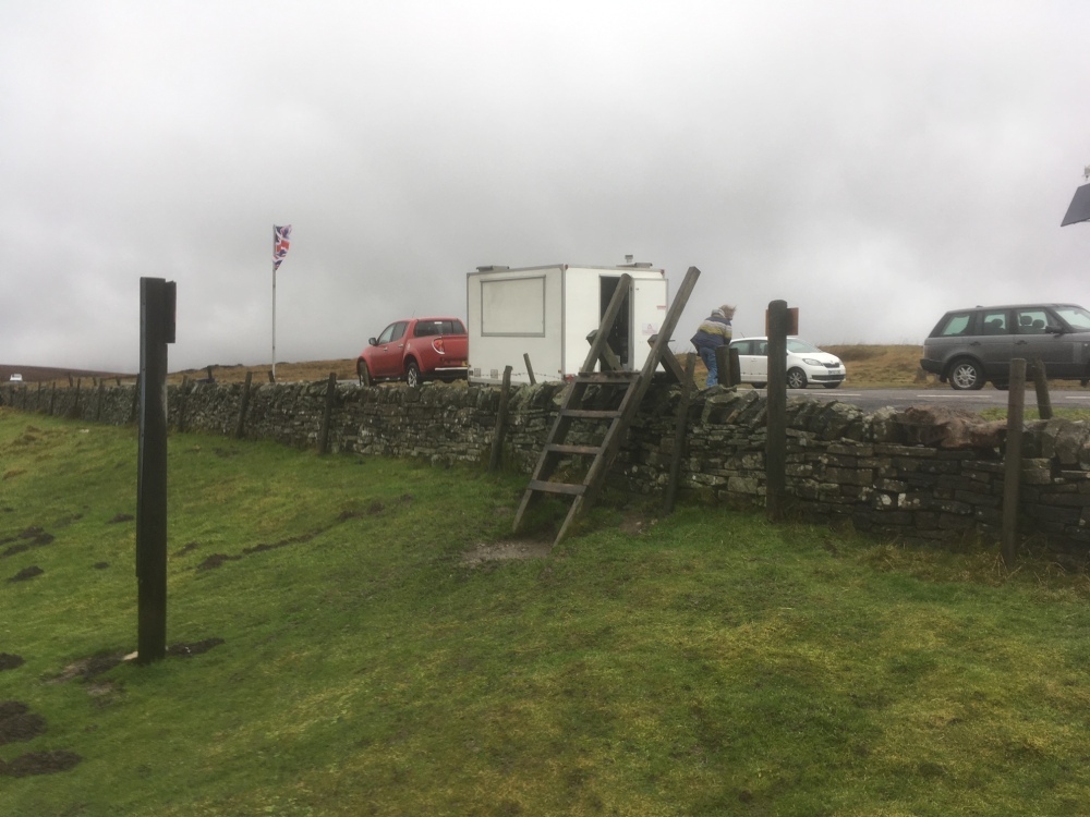
Start : Standedge Brun Moor A62 public car park, above Diggle
Locality: Standedge in Saddleworth
Area: West – Diggle walks
Start OS Grid reference: SE0175109440
Start What3words : masterful.during.firebird
Difficulty: Hard
Distance miles: 8.5
Ascent meters: 359
Estimated Walk Time hours: 4.8
Pub & Locality: Fleece Inn at Holme
Parking: Holme – small car park to rear but with roadside parking available on main road near pub. Difficult parking in centre of village
Public Transport: Between Holmfirth Bus Station and Holme village and return, Bus 314 every hour. Check bus times.
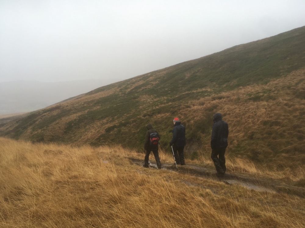
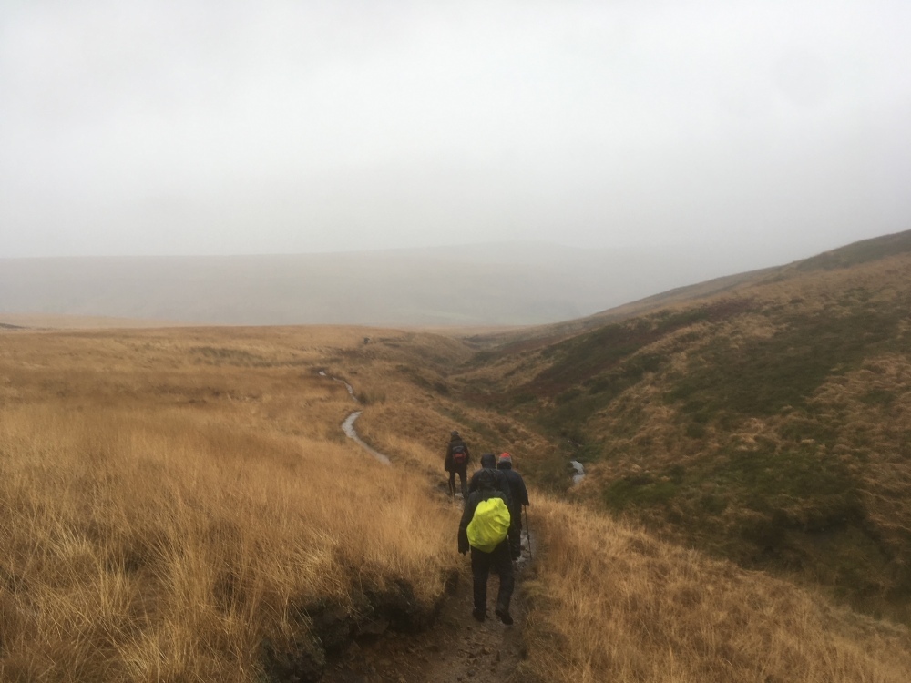
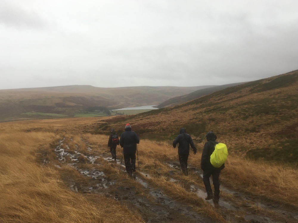
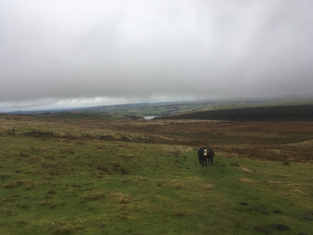
Walk Description: From the car park at Standedge Brun Clough reservoir on the A62, ascend steps on the Pennine Way (PW) (1), generally eastward and follow broad track (2). At signpost keep right, following PW, through gate and keep left before Black Moss reservoir. PW continues around reservoir, across footbridge and then on unsurfaced path to join partially paved sections down Blakely Clough. Cross stream on irregular stepping stones (may be awkward if flow is strong) and at prominent covered water tank take path to right and follow valley side to stream crossing at weir. Continue left along valley side to reach Wessenden reservoir (3). Cross dam and at Wessenden Lodge (4) rejoin official PW and follow to right up Wessenden valley to reach Meltham road. Turn right and at A635 take stile opposite and follow Kirklees Way on rough path down to a stile. Over the stile bear right and take first stile on right with path and track leading down to bridge. Cross bridge and follow moorland path across Stopes Moor (5). Keep left and cross boggy ground to reach a good track, Issues Road. Follow into Holme village and turn right when A6024 is reached. Fleece pub is a short distance on right.
Other comments and points of interest: (1) The Pennine Way was officially opened in 1965 and many local sections are now paved. The route followed on this walk is one of two alternatives and is preferred since it avoids the environmentally sensitive White Moss and Wessenden Head Moor sections off Black Hill.
(2) There have been 5 known generations of Pennine crossings at Standedge, starting with the Roman road from York to Chester and thought to date from AD80. Subsequent routes continued to pass over the moor, perhaps the most remarkable being built by Jack Metcalfe (Blind Jack of Knaresborough) in 1791. The present cutting, now the A62 was built in 1839.
(3) The first reservoirs in the Wessenden valley were built to supply the textile mills of the Colne valley but were then repurposed for Huddersfield’s water supply.
(4) Deer may be seen in an enclosure at Wessenden Lodge.
(5) Bilberry reservoir, which is seen below the path around Stopes Moor was the scene of a disastrous collapse in 1852, causing extensive damage down the Holme Valley and the loss of 81 lives.
Please include the walk name or number when commenting on an individual walk.