015 Marsden to Holme village walk
Walk Summary: Hard 8.0 mile walk from Marsden to Holme via Wessenden Valley and the Pennine Way.
Start : Marsden Railway Station car park
Locality: Marsden
Area: West – Diggle walks
Start OS Grid reference: SE0467511853
Start What3words : composts.hacksaw.query
Difficulty: Hard
Distance miles: 8.0
Ascent meters: 359
Estimated Walk Time hours: 4.8
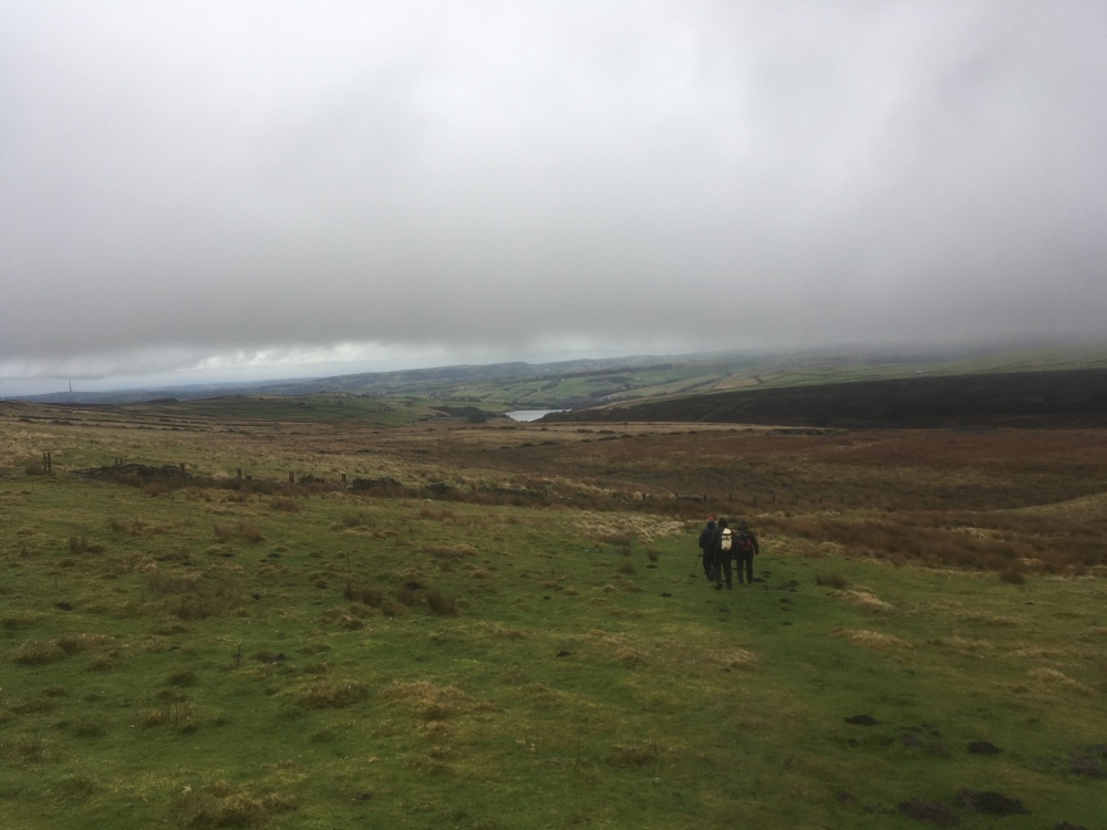
Walk Description: Start from the station car park in Marsden and leave it by walking past the National Trust office and onto Station Rd. Walk down the hill, towards the village centre and continue to the right as the road becomes Peel St, until the junction with the A62, Manchester Rd. Cross over at the pedestrian crossing and continue straight head, still on Peel St. At the junction with Carrs Rd note a footpath sign across and to the left. Take this footpath (a surfaced lane), steeply up, until approaching farm buildings ahead where there is a footpath sign directing you to the left. Follow the direction indicated and the path passes by horse boxes, turning right and ascending a natural, but awkward, stone step. Continue up this narrow path, tending to the right until there is a gate ahead and a stile to it’s left. Cross over the stile and take the path which climbs along the hillside, by the edge of woodland. After 150m the path turns and climbs to the left, avoiding a steep valley ahead. Keep following the path upwards until it meets a tarmacked lane, which you join and turn left. Pass the buildings of Upper Acre Head and join the track of Deer Hill Conduit(1), which is followed to the right. The path is clear and easy to follow for about 3km, where it descends and merges with the main track up the Wessenden valley. Continue up the track on what is now the Pennine Way. At the road (Wessenden Head Rd) turn right and on reaching the A635, turn briefly left and take a stile, over a wall on your right. The path on the other side descends on rough pasture and then turns left, generally following a fence line and then follows either a ditch or drain, or, more conveniently the bank on the righthand side. This passes woodland on your right and a, commonly wet stretch, to reach a gate and stile. Keep straight ahead and after 100m take a stile on your right. A field path and track leads down to a footbridge (Blackpool Bridge) across a stream and then continues as a clear path across the moorland of Good Bent. This leads to a wet section, where some route finding may be necessary and then tends left across rough ground to join the prominent Issues Rd. Follow this hard track all the way to Holme village, where the Fleece Inn will be found 150m to the right on reaching the main road.
Pub & Locality: Fleece Inn at Holme
Parking: Holme – small car park to rear but with roadside parking available on main road near pub. Difficult parking in centre of village
Public Transport: Taxis from Holme to Marsden then Bus 314 from Holme village every hour to Holmfirth
Other comments and pointes of interest: (1) The Deer Hill Conduit takes water from Wessendeden Head reservoir and from springs, initially by pipeline and then by an open channel to deliver into Deer Hill reservoir.
Please include the walk name or number when commenting on an individual walk.